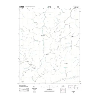
2011 Map of Helton
USGS Topo · Published 2011About this map
The Middle Fork Kentucky River defines the central topography of this Leslie County region, where isolated settlements and family-named hollows follow the deep drainages of the Kentucky Ridge. In the northern reaches, the War Branch Post Office serves the community of Warbranch, while the southern landscape is anchored by Saylor and Spruce Pine. The map reveals a deeply etched terrain of ridges and gaps, such as Phillips Gap and Buck Gap, which historically dictated movement through the mountains. Local history is preserved in sites like the Honey Branch Cemetery and the numerous named hollows, including Pigeon Roost Hollow and Saylor Hollow, which reflect generations of family settlement. Significant peaks like Potato Knob and Chestnut Knob provide distinct landmarks across this densely forested Cumberland Plateau landscape.
Find a feature on this map
95 named features on this map. Tap any name to fly to it.
Don’t see what you’re looking for? This feature index may not catch every label — zoom into the map to look around manually.
Map Details
Editions of this 2011 Helton Map
This is the sole edition of this map. No revisions or reprints were ever made.
Other maps of this area

1886 · Cumberland Gap
USGS Topo · 1:125,000

1887 · Jonesville
USGS Topo · 1:125,000

1888 · Cumberland Gap
USGS Topo · 1:125,000

1891 · Manchester
USGS Topo · 1:125,000

1891 · Cumberland Gap
USGS Topo · 1:125,000

1891 · Hazard
USGS Topo · 1:125,000

1891 · Jonesville
USGS Topo · 1:125,000

1903 · Harlan
USGS Topo · 1:48,000

1903 · Pineville
USGS Topo · 1:48,000

1916 · Harlan
USGS Topo · 1:48,000