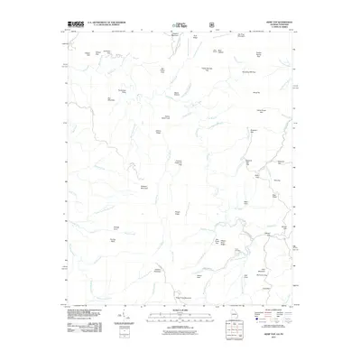
2011 Map of Hemp Top
USGS Topo · Published 2011About this map
Jacks River and the Conasauga River carve through this high-elevation landscape along the Georgia-Tennessee border, where topographic relief is defined by prominent peaks like Big Frog Mountain and Cowpen Mountain. This 2011 survey illustrates a wilderness-dominant environment characterized by a dense network of gaps and ridges, including Indian Grave Gap, Spanish Oak Gap, and Patterson Gap.
Find a feature on this map
82 named features on this map. Tap any name to fly to it.
Don’t see what you’re looking for? This feature index may not catch every label — zoom into the map to look around manually.
Map Details
Editions of this 2011 Hemp Top Map
This is the sole edition of this map. No revisions or reprints were ever made.
Other maps of this area

1886 · Dalton
USGS Topo · 1:125,000

1886 · Cleveland
USGS Topo · 1:125,000

1888 · Ellijay
USGS Topo · 1:125,000

1892 · Cleveland
USGS Topo · 1:125,000

1892 · Ellijay
USGS Topo · 1:125,000

1892 · Dalton
USGS Topo · 1:125,000

1893 · Murphy
USGS Topo · 1:125,000

1895 · Cleveland
USGS Topo · 1:125,000

1897 · Dalton
USGS Topo · 1:125,000
1898 · Ellijay
USGS Topo · 1:125,000