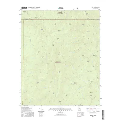
2017 Map of Hemp Top
USGS Topo · Published 2017About this map
Cherokee National Forest and Chattahoochee National Forest converge at the border of Georgia and Tennessee, defined by the hydrological split of the Tennessee Valley Divide. This 2017 survey details a landscape of narrow ridges and deep river basins where the Conasauga River and Jacks River carve through the southern Appalachian foothills. The area is marked by numerous traditional leads and gaps, such as Tumbling Lead and Indian Grave Gap, which reflect the historic routes used by early settlers and hunters traversing these slopes between the Alaculsy Valley and the peaks of Big Frog Mtn. Local history is anchored at the Jones Cem, situated near the confluence of the W Fork Jacks River and the S Fork Jacks River. The map also traces established paths like the E Cowpen Trl and the winding course of State Rte 2 through the forested terrain.
Find a feature on this map
91 named features on this map. Tap any name to fly to it.
Don’t see what you’re looking for? This feature index may not catch every label — zoom into the map to look around manually.
Map Details
Editions of this 2017 Hemp Top Map
This is the sole edition of this map. No revisions or reprints were ever made.
Other maps of this area
1886 · Dalton
USGS Topo · 1:125,000
1886 · Cleveland
USGS Topo · 1:125,000
1888 · Ellijay
USGS Topo · 1:125,000
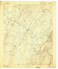
1892 · Cleveland
USGS Topo · 1:125,000
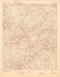
1892 · Ellijay
USGS Topo · 1:125,000
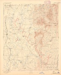
1892 · Dalton
USGS Topo · 1:125,000
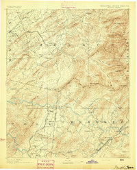
1893 · Murphy
USGS Topo · 1:125,000
1895 · Cleveland
USGS Topo · 1:125,000
1897 · Dalton
USGS Topo · 1:125,000
1898 · Ellijay
USGS Topo · 1:125,000