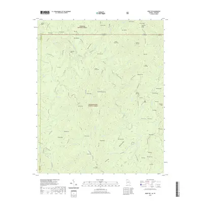
2020 Map of Hemp Top
USGS Topo · Published 2020About this map
The Tennessee Valley Divide bisects the northern reach of this landscape, marking the high boundary between the Cherokee National Forest and the Chattahoochee National Forest. This terrain is defined by the convergence of the Blue Ridge and significant water systems like the Jacks River and Conasauga Cr. Significant hiking corridors including the Benton MacKaye and Pinhoti trails traverse these ridges, crossing through gaps such as Dally Gap and Indian Grave Gap. Evidence of long-standing local presence is found at the Jones Cem, situated near Wagon Road Ridge. The map details a complex network of forest roads and trails, such as the Jacks River Rd and the E Cowpen Trl, which navigate a landscape of deep coves like Peter Cove and steep leads like Tumbling Lead.
Find a feature on this map
104 named features on this map. Tap any name to fly to it.
Don’t see what you’re looking for? This feature index may not catch every label — zoom into the map to look around manually.
Map Details
Editions of this 2020 Hemp Top Map
This is the sole edition of this map. No revisions or reprints were ever made.
Other maps of this area

1886 · Dalton
USGS Topo · 1:125,000

1886 · Cleveland
USGS Topo · 1:125,000

1888 · Ellijay
USGS Topo · 1:125,000

1892 · Cleveland
USGS Topo · 1:125,000

1892 · Ellijay
USGS Topo · 1:125,000

1892 · Dalton
USGS Topo · 1:125,000

1893 · Murphy
USGS Topo · 1:125,000

1895 · Cleveland
USGS Topo · 1:125,000

1897 · Dalton
USGS Topo · 1:125,000

1898 · Ellijay
USGS Topo · 1:125,000