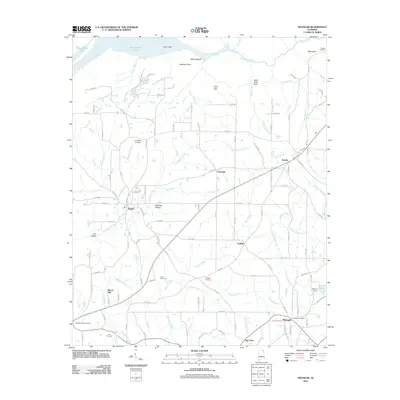
2011 Map of Henagar
USGS Topo · Published 2011About this map
Guntersville Lake and the jagged inlet of Coon Gulf dominate the northern landscape of this DeKalb County region. The terrain transition is marked by geological features like Coon Gap and The Gorge, with the plateaus above supporting a network of rural communities including Henagar, Pisgah, and Rosalie. For genealogists, the map is particularly rich in family history landmarks, documenting sites such as Nelson Cemetery, Friendship Cemetery, and Hudgins Cemetery. Settlement patterns are tightly tied to the drainage of Bryant Creek and its many tributaries. In the southeast, the Henagar Post Office serves as a central hub near the intersection of several county roads, while Morris Mill and the area near Gilberts Lake indicate the long-standing localized infrastructure of these upland communities during the early 21st century.
Find a feature on this map
126 named features on this map. Tap any name to fly to it.
Don’t see what you’re looking for? This feature index may not catch every label — zoom into the map to look around manually.
Map Details
Editions of this 2011 Henagar Map
This is the sole edition of this map. No revisions or reprints were ever made.
Other maps of this area

1886 · Stevenson
USGS Topo · 1:125,000

1892 · Stevenson
USGS Topo · 1:125,000

1895 · Stevenson
USGS Topo · 1:125,000

1936 · Ider
USGS Topo · 1:24,000

1936 · Wannville
USGS Topo · 1:24,000

1936 · Flat Rock
USGS Topo · 1:24,000

1936 · Dugout Valley
USGS Topo · 1:24,000

1936 · Dutton
USGS Topo · 1:24,000

1936 · Sylvania
USGS Topo · 1:24,000

1936 · Hollywood
USGS Topo · 1:24,000