
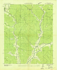
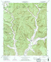
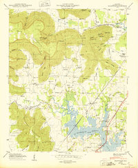
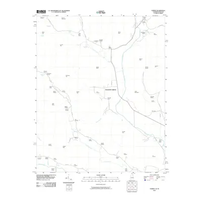
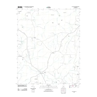
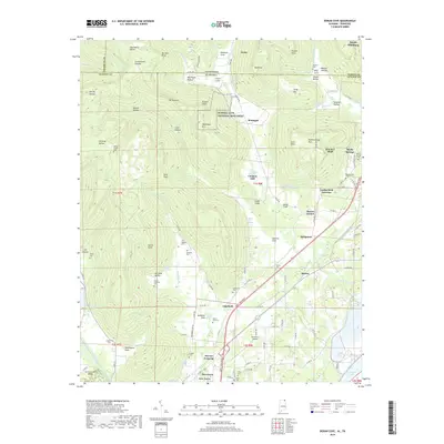
1936 Map of Wannville
USGS Topo · Published 1936About this map
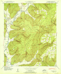
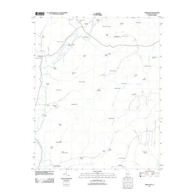
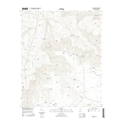
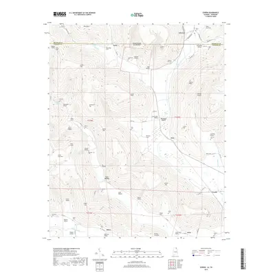
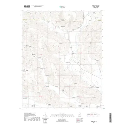
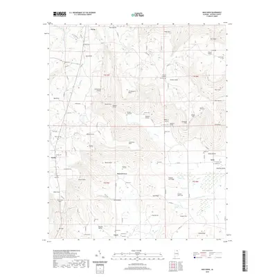
The Proposed Guntersville Reservoir looms over this 1936 landscape, marking a pivotal transition for Jackson County as the Tennessee Valley Authority prepared to inundate the lowlands of Mud Creek and Coon Creek. This advance sheet captures the final state of the river-valley community before the waters rose, documenting precise property boundaries and institutional landmarks such as the Rosenwald Sch and the Samuel Keys Reservation. The rural economy of the mid-1930s is visible in the placement of Jacobs Mill and Schrader Mill, while the Southern railroad line connects the settlements of Fackler and Wannville. Genealogists will find high value in the numerous family-named landmarks and resting places, including the Hurt Cem, Bryant Cem, and a dedicated Pauper Cem located near the base of Poor House Mountain, providing a stark record of the area's social geography.
Find a feature on this map
42 named features on this map. Tap any name to fly to it.
Don’t see what you’re looking for? This feature index may not catch every label — zoom into the map to look around manually.
Map Details
Editions of this 1936 Wannville Map
This is the sole edition of this map. No revisions or reprints were ever made.
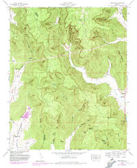
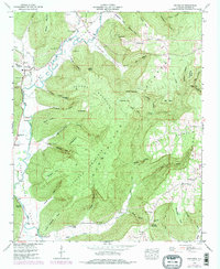
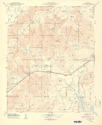
Historical Maps of Stevenson Through Time
77 maps found

1921 Petit Bois Island
Jackson County, AL

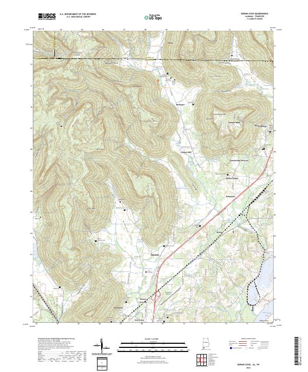
1936 Doran Cove
Jackson County, AL

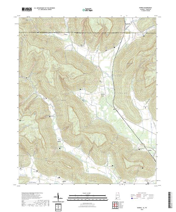
1936 Eureka
Jackson County, AL

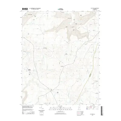
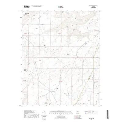
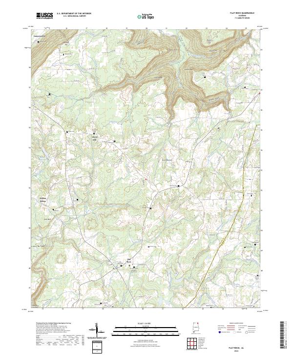
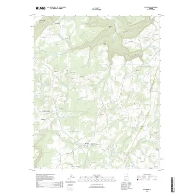
1936 Flat Rock
Jackson County, AL

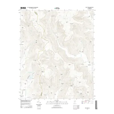
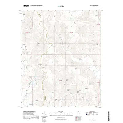
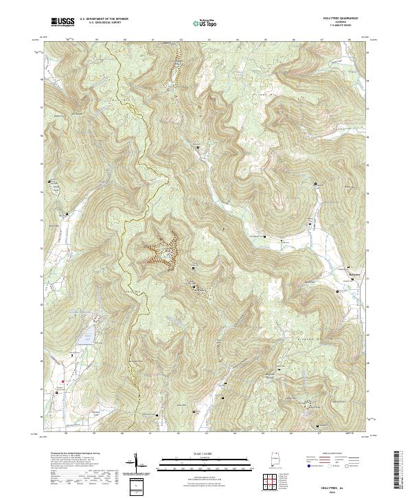
1936 Hollytree
Jackson County, AL

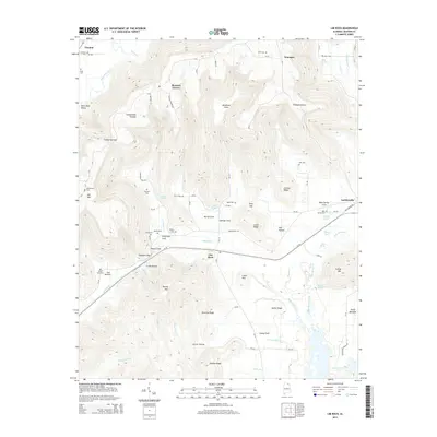
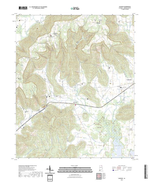
1936 Lim Rock
Jackson County, AL

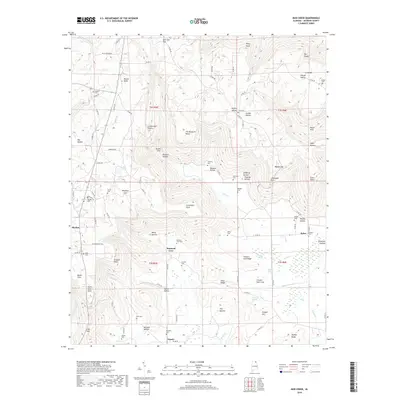
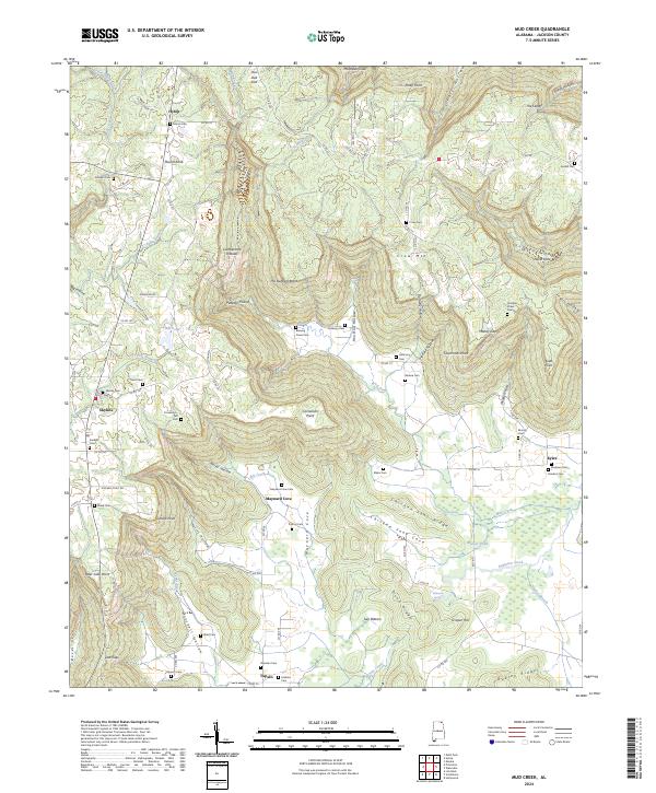
1936 Mud Creek
Jackson County, AL

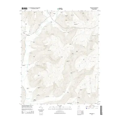
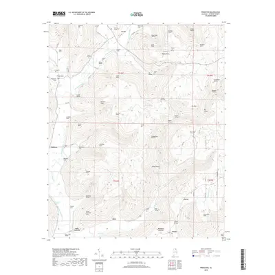
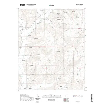
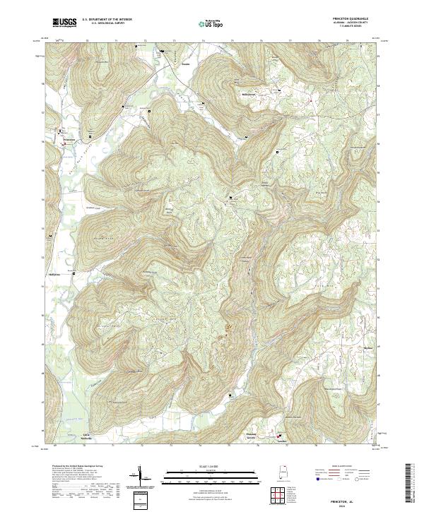
1936 Princeton
Jackson County, AL
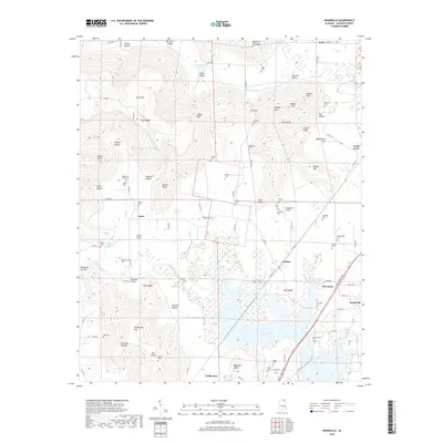
1936 Wannville
Jackson County, AL
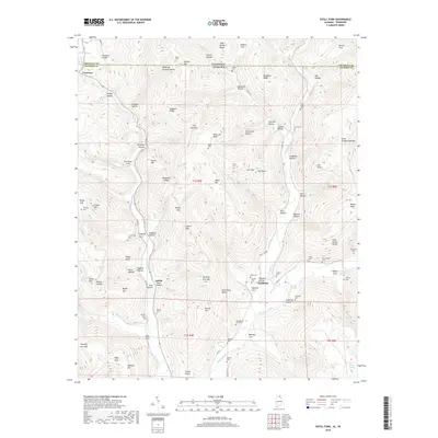
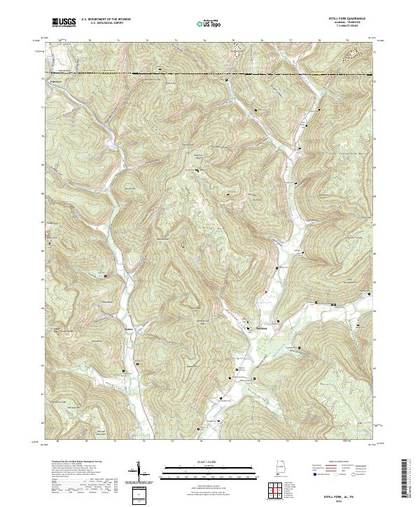
1939 Estill Fork
Jackson County, AL

1942 Petit Bois Island
Jackson County, AL
1946 Flat Rock
Jackson County, AL
1947 Eureka
Jackson County, AL
1947 Lim Rock
Jackson County, AL

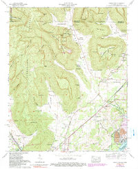
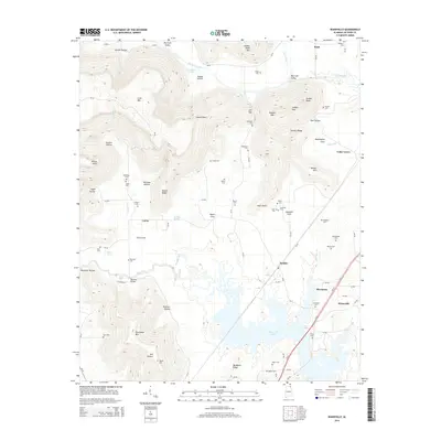
1947 Wannville
Jackson County, AL
1948 Estill Fork
Jackson County, AL
1948 Hollytree
Jackson County, AL

1948 Mud Creek
Jackson County, AL
1948 Princeton
Jackson County, AL

1950 Doran Cove
Jackson County, AL

1950 Eureka
Jackson County, AL
1950 Lim Rock
Jackson County, AL
1950 Wannville
Jackson County, AL
1951 Estill Fork
Jackson County, AL
1951 Hollytree
Jackson County, AL
1951 Mud Creek
Jackson County, AL
1951 Princeton
Jackson County, AL
1967 Doran Cove
Jackson County, AL
2010 Doran Cove
Jackson County, AL
2010 Estill Fork
Jackson County, AL
2010 Eureka
Jackson County, AL
2011 Doran Cove
Jackson County, AL
2011 Estill Fork
Jackson County, AL
2011 Eureka
Jackson County, AL
2011 Flat Rock
Jackson County, AL
2011 Hollytree
Jackson County, AL
2011 Lim Rock
Jackson County, AL
2011 Mud Creek
Jackson County, AL
2011 Princeton
Jackson County, AL
2011 Wannville
Jackson County, AL

2014 Doran Cove
Jackson County, AL
2014 Estill Fork
Jackson County, AL
2014 Eureka
Jackson County, AL
2014 Flat Rock
Jackson County, AL
2014 Hollytree
Jackson County, AL
2014 Lim Rock
Jackson County, AL
2014 Mud Creek
Jackson County, AL
2014 Princeton
Jackson County, AL
2014 Wannville
Jackson County, AL
2018 Doran Cove
Jackson County, AL
2018 Estill Fork
Jackson County, AL
2018 Eureka
Jackson County, AL
2018 Flat Rock
Jackson County, AL
2018 Hollytree
Jackson County, AL

2018 Lim Rock
Jackson County, AL
2018 Mud Creek
Jackson County, AL
2018 Princeton
Jackson County, AL
2018 Wannville
Jackson County, AL
2020 Doran Cove
Jackson County, AL
2020 Estill Fork
Jackson County, AL
2020 Eureka
Jackson County, AL
2020 Flat Rock
Jackson County, AL
2020 Hollytree
Jackson County, AL
2020 Lim Rock
Jackson County, AL
2020 Mud Creek
Jackson County, AL
2020 Princeton
Jackson County, AL

2020 Wannville
Jackson County, AL
2024 Doran Cove
Jackson County, AL
2024 Estill Fork
Jackson County, AL
2024 Eureka
Jackson County, AL
2024 Flat Rock
Jackson County, AL
2024 Hollytree
Jackson County, AL
2024 Lim Rock
Jackson County, AL
2024 Mud Creek
Jackson County, AL
2024 Princeton
Jackson County, AL
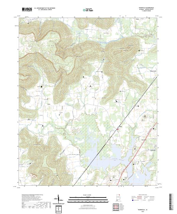
2024 Wannville
Jackson County, AL
2026 Flat Rock
Jackson County, AL