
1936 Map of Stevenson
USGS Topo · Published 1936About this map
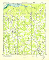
Stevenson serves as a critical junction in Jackson County during this mid-1930s survey, where the N C & ST L RR and Southern RR converge near the winding Crow Creek. This map documents a landscape on the verge of total transformation, centering on the Proposed Guntersville Reservoir. The planned shoreline is meticulously outlined, showing which family cemeteries and farmsteads, such as the Caperton Cem and Knox Cem, were slated for inundation or relocation.
Find a feature on this map
50 named features on this map. Tap any name to fly to it.
Don’t see what you’re looking for? This feature index may not catch every label — zoom into the map to look around manually.
Map Details
Editions of this 1936 Stevenson Map
This is the sole edition of this map. No revisions or reprints were ever made.
Other maps of this area

1886 · Stevenson
USGS Topo · 1:125,000

1892 · Stevenson
USGS Topo · 1:125,000

1895 · Stevenson
USGS Topo · 1:125,000

1936 · Ider
USGS Topo · 1:24,000

1936 · Bridgeport
USGS Topo · 1:24,000

1936 · Wannville
USGS Topo · 1:24,000

1936 · Flat Rock
USGS Topo · 1:24,000

1936 · Hollywood
USGS Topo · 1:24,000
1936 · Henagar
USGS Topo · 1:24,000
1936 · Doran Cove
USGS Topo · 1:24,000