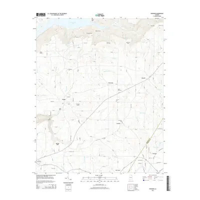
2014 Map of Henagar
USGS Topo · Published 2014About this map
Sand Mountain dominates this portion of the Cumberland Plateau, where the landscape transitions from the high, flat-topped ridge down toward the Tennessee River valley at Guntersville Lake. The settlement patterns shown here are deeply tied to the terrain, with small communities like Pisgah, Rosalie, and Henagar established along the plateau's primary corridors. The map reveals the intricate drainage system of the mountain, including Coon Creek and Bryant Cr, which have carved significant features such as The Gorge and Coon Gulf. For genealogists and local historians, the document provides precise locations for several rural burial grounds, including Nelson Cem and Hudgins Cem, alongside small named locales like Morris Mill and Central. The boundary between Jackson Co and DeKalb Co bisects the area, illustrating how early political lines followed these upland natural features.
Find a feature on this map
122 named features on this map. Tap any name to fly to it.
Don’t see what you’re looking for? This feature index may not catch every label — zoom into the map to look around manually.
Map Details
Editions of this 2014 Henagar Map
This is the sole edition of this map. No revisions or reprints were ever made.
Other maps of this area

1886 · Stevenson
USGS Topo · 1:125,000

1892 · Stevenson
USGS Topo · 1:125,000

1895 · Stevenson
USGS Topo · 1:125,000

1936 · Ider
USGS Topo · 1:24,000

1936 · Wannville
USGS Topo · 1:24,000

1936 · Flat Rock
USGS Topo · 1:24,000

1936 · Dugout Valley
USGS Topo · 1:24,000

1936 · Dutton
USGS Topo · 1:24,000

1936 · Sylvania
USGS Topo · 1:24,000

1936 · Hollywood
USGS Topo · 1:24,000