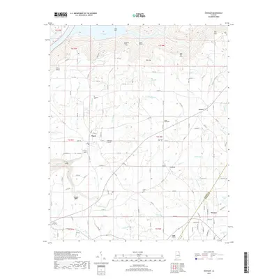
2018 Map of Henagar
USGS Topo · Published 2018About this map
Sand Mountain dominates this portion of the Cumberland Plateau, where the tableland is deeply incised by the drainage of Guntersville Lake and numerous creek systems. The plateau surface is home to the agricultural and residential communities of Pisgah, Rosalie, and Henagar, which are connected by an extensive network of county roads. The landscape transition is most dramatic at The Gorge and Jones Cove, where the land drops sharply from the plateau heights toward the Tennessee River valley waters of Coon Gulf.
Find a feature on this map
134 named features on this map. Tap any name to fly to it.
Don’t see what you’re looking for? This feature index may not catch every label — zoom into the map to look around manually.
Map Details
Editions of this 2018 Henagar Map
This is the sole edition of this map. No revisions or reprints were ever made.
Other maps of this area

1886 · Stevenson
USGS Topo · 1:125,000

1892 · Stevenson
USGS Topo · 1:125,000

1895 · Stevenson
USGS Topo · 1:125,000

1936 · Ider
USGS Topo · 1:24,000

1936 · Wannville
USGS Topo · 1:24,000

1936 · Flat Rock
USGS Topo · 1:24,000

1936 · Dugout Valley
USGS Topo · 1:24,000

1936 · Dutton
USGS Topo · 1:24,000

1936 · Sylvania
USGS Topo · 1:24,000

1936 · Hollywood
USGS Topo · 1:24,000