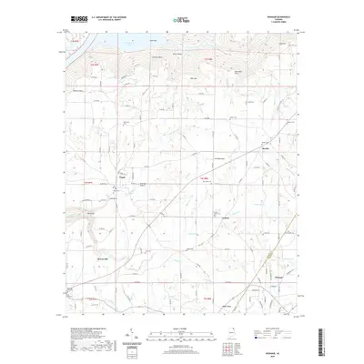
2020 Map of Henagar
USGS Topo · Published 2020About this map
Sand Mountain dominates this portion of Northeast Alabama, where the plateau landscape meets the southern reaches of the Tennessee River valley. The northern edge of the map follows the irregular shoreline of Guntersville Lake, specifically where Coon Gulf and Coon Creek indent the land below Wicks Hollow and Freeman Point. This era shows a settled agricultural and residential pattern atop the plateau, with communities like Pisgah and Rosalie serving as local hubs.
Find a feature on this map
134 named features on this map. Tap any name to fly to it.
Don’t see what you’re looking for? This feature index may not catch every label — zoom into the map to look around manually.
Map Details
Editions of this 2020 Henagar Map
This is the sole edition of this map. No revisions or reprints were ever made.
Other maps of this area

1886 · Stevenson
USGS Topo · 1:125,000

1892 · Stevenson
USGS Topo · 1:125,000

1895 · Stevenson
USGS Topo · 1:125,000

1936 · Ider
USGS Topo · 1:24,000

1936 · Wannville
USGS Topo · 1:24,000

1936 · Flat Rock
USGS Topo · 1:24,000

1936 · Dugout Valley
USGS Topo · 1:24,000

1936 · Dutton
USGS Topo · 1:24,000

1936 · Sylvania
USGS Topo · 1:24,000

1936 · Hollywood
USGS Topo · 1:24,000