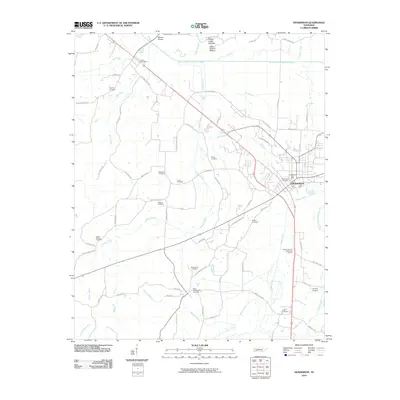
2022 Map of Henderson
USGS Topo · Published 2022About this map
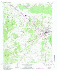
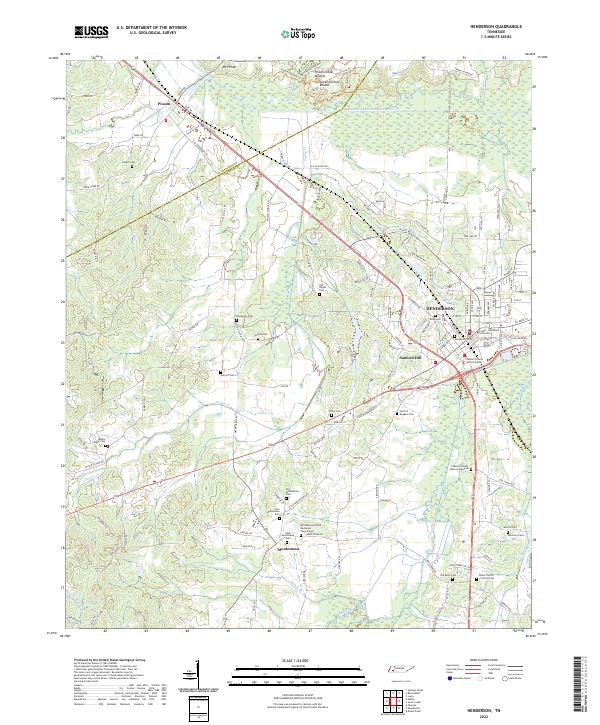
The ancient landscape of Pinson Indian Mounds and the Great Central Mound dominates the northern reaches of this territory along the South Fork Forked Deer River. The cultural continuity of Chester County is evident in the transition from these prehistoric sites to the early 21st-century campus of Freed-Hardeman University in Henderson. The map details a dense network of local heritage sites, particularly a high concentration of burial grounds such as Old Montezuma Cem and the Hearns Chapel Cem, which anchor the rural communities of Montezuma and Sanford Hill. Transportation and hydrology are defined by numerous creeks including Turk Cr and Turkey Cr, while the modern civic landscape is represented by the Chester County Justice Center. This survey provides a precise accounting of the small-scale roads and landmarks that define the character of West Tennessee.
Find a feature on this map
137 named features on this map. Tap any name to fly to it.
Don’t see what you’re looking for? This feature index may not catch every label — zoom into the map to look around manually.
Map Details
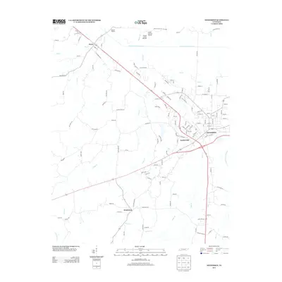
Editions of this 2022 Henderson Map
This is the sole edition of this map. No revisions or reprints were ever made.
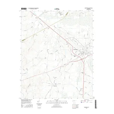
Historical Maps of Henderson Through Time
6 maps found