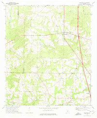
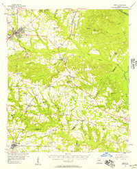
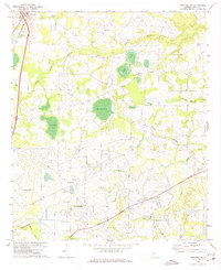
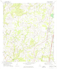
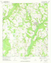
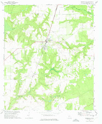
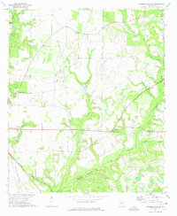
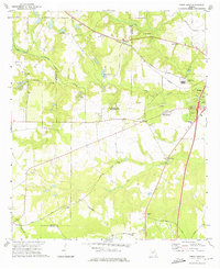
1971 Map of Henderson
USGS Topo · Published 1975About this map
The agrarian landscape of the Houston County and Dooly County border is defined by a dense network of country churches and family burial grounds in the early 1970s. This survey centers on the community of Henderson, where the local identity is anchored by the Shiloh Ch and its adjacent Shiloh Cem. The terrain is deeply etched by the winding course of Hogcrawl Creek and Big Creek, which create natural boundaries for the rural homesteads and agricultural fields of the region.
Find a feature on this map
28 named features on this map. Tap any name to fly to it.
Don’t see what you’re looking for? This feature index may not catch every label — zoom into the map to look around manually.
Map Details
Editions of this 1971 Henderson Map
This is the sole edition of this map. No revisions or reprints were ever made.
Other maps of this area
1956 · Perry
USGS Topo · 1:62,500

1957 · Macon
USGS Topo · 1:250,000

1958 · Macon
USGS Topo · 1:250,000

1964 · Macon
USGS Topo · 1:250,000
1971 · Pineview NW
USGS Topo · 1:24,000
1971 · Pinehurst
USGS Topo · 1:24,000
1972 · Byromville
USGS Topo · 1:24,000
1972 · Marshallville
USGS Topo · 1:24,000
1972 · Marshallville SW
USGS Topo · 1:24,000
1972 · Perry West
USGS Topo · 1:24,000