
1943 Map of Henderson
USGS Topo · Published 1943About this map
The eastern shore of Lake Ontario defines the geography of Jefferson County during the mid-war period, where the village of Henderson serves as a hub between the harbor and the surrounding dairy and orchard lands. The landscape is marked by a network of drainage and transport, notably the Graham Creek Canal and the winding course of Stony Creek, which connects the interior to Henderson Bay. This 1943 survey, mapped by the Tennessee Valley Authority for the Corps of Engineers, reveals a densely settled rural society organized around family-named corners and crossroads. Numerous small burial grounds, such as Stowles Cem and Gallea Cem, are interspersed among the farms of Rural Hill and Hungerford Corners, providing essential data for researchers tracing local families and the lineage of the Ellisburg and Henderson townships. Coastal features like El Dorado Beach and the protected waters of Sawyer Bay hint at the area's dual character as both a working landscape and a nascent recreational destination.
Find a feature on this map
43 named features on this map. Tap any name to fly to it.
Don’t see what you’re looking for? This feature index may not catch every label — zoom into the map to look around manually.
Map Details
Editions of this 1943 Henderson Map
This is the sole edition of this map. No revisions or reprints were ever made.
Other maps of this area

1893 · Sackets Harbor
USGS Topo · 1:62,500

1895 · Sacketts Harbor
USGS Topo · 1:62,500

1895 · Stony Island
USGS Topo · 1:62,500

1895 · Pulaski
USGS Topo · 1:62,500

1942 · Stony Point
USGS Topo · 1:31,680

1942 · Henderson Bay
USGS Topo · 1:31,680

1942 · Point Peninsula
USGS Topo · 1:31,680

1942 · Sandy Creek
USGS Topo · 1:24,000
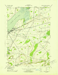
1943 · Sackets Harbor
USGS Topo · 1:31,680
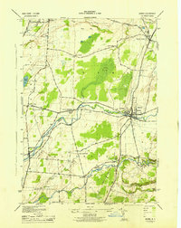
1943 · Adams
USGS Topo · 1:31,680