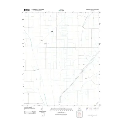
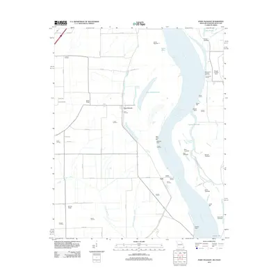
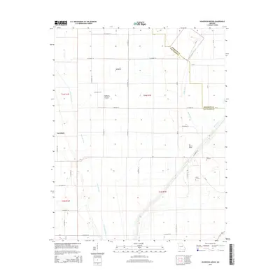
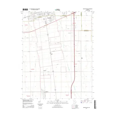
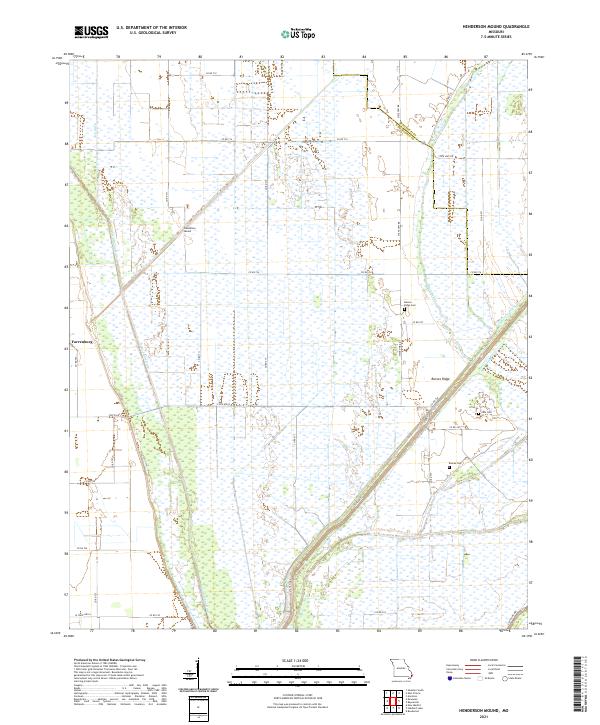
1969 Map of Henderson Mound
USGS Topo · Published 1971About this map
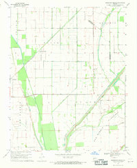
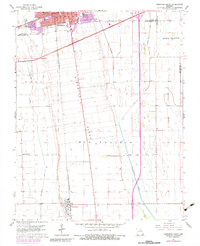
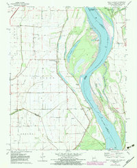
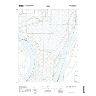
Henderson Mound and the surrounding agricultural landscape of New Madrid and Mississippi counties appear here in the late 1960s, defined by an intricate system of drainage and flood control. The map illustrates the intensive engineering of the Bootheel region, where St Johns Ditch, Maple Slough, and St James Ditch crisscross the lowlands to manage the water table. A massive Levee system and the Birds Point New Madrid Floodway dominate the southeastern portion of the sheet, protecting the productive fields of Big Prairie.
Find a feature on this map
28 named features on this map. Tap any name to fly to it.
Don’t see what you’re looking for? This feature index may not catch every label — zoom into the map to look around manually.
Map Details
Editions of this 1969 Henderson Mound Map
This is the sole edition of this map. No revisions or reprints were ever made.
Historical Maps of Selkirk Through Time
42 maps found
1939 Bayouville
New Madrid County, MO
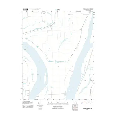
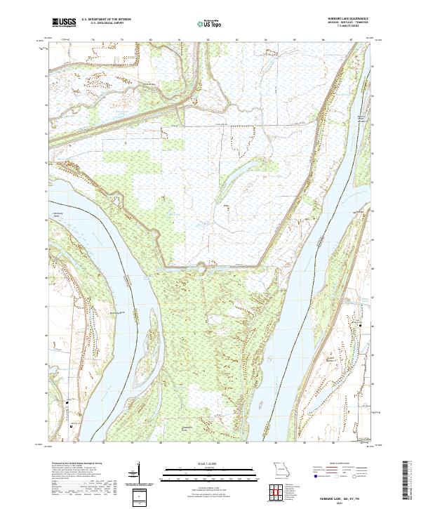
1951 Hubbard Lake
New Madrid County, MO
1951 New Madrid SE
New Madrid County, MO

1955 Bayouville
New Madrid County, MO
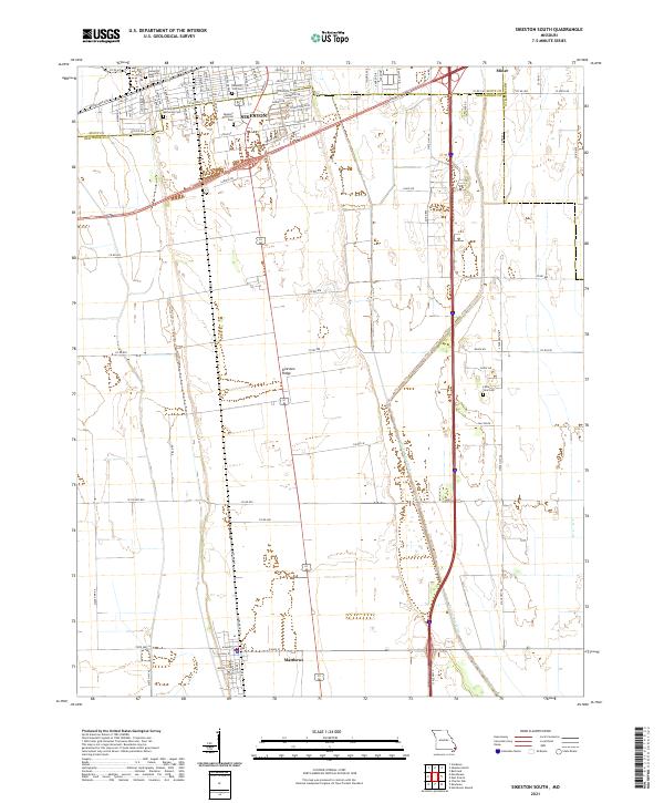
1963 Sikeston South
New Madrid County, MO
1969 Henderson Mound
New Madrid County, MO
1969 Hubbard Lake
New Madrid County, MO
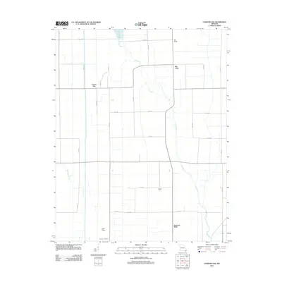
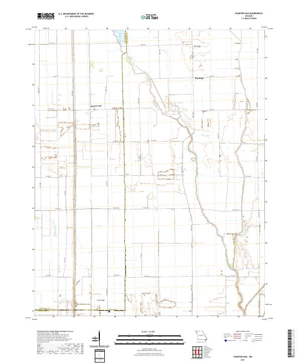
1971 Charter Oak
New Madrid County, MO
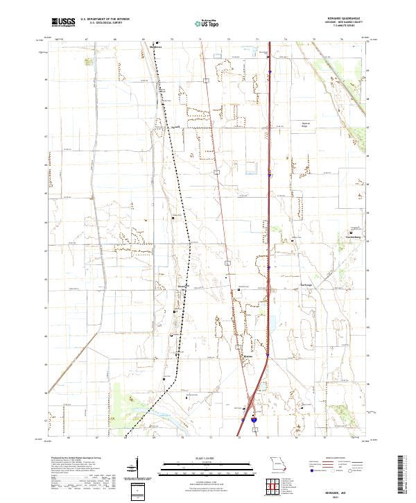
1971 Kewanee
New Madrid County, MO
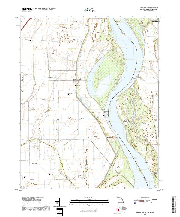
1971 Point Pleasant
New Madrid County, MO

1972 Bayouville
New Madrid County, MO

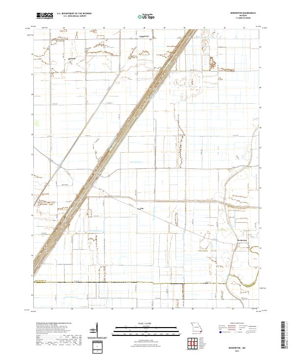
1978 Boekerton
New Madrid County, MO
2010 Hubbard Lake
New Madrid County, MO
2010 Point Pleasant
New Madrid County, MO
2012 Boekerton
New Madrid County, MO
2012 Charter Oak
New Madrid County, MO
2012 Henderson Mound
New Madrid County, MO
2012 Hubbard Lake
New Madrid County, MO
2012 Kewanee
New Madrid County, MO
2012 Point Pleasant
New Madrid County, MO
2012 Sikeston South
New Madrid County, MO
2015 Boekerton
New Madrid County, MO
2015 Charter Oak
New Madrid County, MO
2015 Henderson Mound
New Madrid County, MO
2015 Hubbard Lake
New Madrid County, MO
2015 Kewanee
New Madrid County, MO
2015 Point Pleasant
New Madrid County, MO
2015 Sikeston South
New Madrid County, MO
2017 Boekerton
New Madrid County, MO
2017 Charter Oak
New Madrid County, MO
2017 Henderson Mound
New Madrid County, MO
2017 Hubbard Lake
New Madrid County, MO
2017 Kewanee
New Madrid County, MO
2017 Point Pleasant
New Madrid County, MO
2017 Sikeston South
New Madrid County, MO
2021 Boekerton
New Madrid County, MO
2021 Charter Oak
New Madrid County, MO
2021 Henderson Mound
New Madrid County, MO
2021 Hubbard Lake
New Madrid County, MO
2021 Kewanee
New Madrid County, MO
2021 Point Pleasant
New Madrid County, MO
2021 Sikeston South
New Madrid County, MO