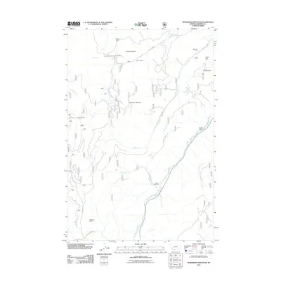
2011 Map of Henderson Mountain
USGS Topo · Published 2011About this map
Mining operations and narrow mountain drainages define this portion of Granite County, where industrial legacy is etched into the high country. The landscape is marked by numerous historic extraction sites such as the North Sunrise Mine and Bunker Hill Mine near Sunrise Mountain, as well as the Morse and Kennedy Mine to the south. These claims suggest a period of intense prospecting and geological interest that shaped local development and the networks of roads like County Rd 448.
Find a feature on this map
24 named features on this map. Tap any name to fly to it.
Don’t see what you’re looking for? This feature index may not catch every label — zoom into the map to look around manually.
Map Details
Editions of this 2011 Henderson Mountain Map
This is the sole edition of this map. No revisions or reprints were ever made.
Other maps of this area

1908 · Philipsburg
USGS Topo · 1:125,000

1919 · Drummond
USGS Topo · 1:125,000

1921 · Drummond
USGS Topo · 1:125,000

1947 · Butte
USGS Topo · 1:250,000

1958 · Butte
USGS Topo · 1:250,000

1958 · Drummond
USGS Topo · 1:62,500

1959 · Bearmouth
USGS Topo · 1:62,500

1960 · Butte
USGS Topo · 1:250,000

1962 · Butte
USGS Topo · 1:250,000

1971 · Henderson Mountain
USGS Topo · 1:24,000