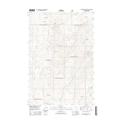
2014 Map of Henderson Mountain
USGS Topo · Published 2014About this map
Maxville serves as the primary settlement hub in this section of Granite County, situated along the banks of Flint Creek. Much of the surrounding landscape is dominated by the steep, timbered slopes of Deerlodge National Forest, where topography is defined by prominent peaks like Henderson Mtn and Sunrise Mtn. The drainages throughout these mountains carry local names that often reflect early prospecting and homesteading history, including Gaylord Gulch, Ham Gulch, and Wyman Gulch. A network of forest roads and lanes, such as Henderson Creek Rd and Smart Creek Rd, provide access to the interior of the range, following the natural paths carved by water bodies like Smart Cr and Henderson Cr. This terrain demonstrates the transition from the valley floor at Maxville into the high-elevation backcountry of the Montana wilderness.
Find a feature on this map
25 named features on this map. Tap any name to fly to it.
Don’t see what you’re looking for? This feature index may not catch every label — zoom into the map to look around manually.
Map Details
Editions of this 2014 Henderson Mountain Map
This is the sole edition of this map. No revisions or reprints were ever made.
Other maps of this area
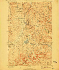
1908 · Philipsburg
USGS Topo · 1:125,000
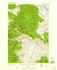
1919 · Drummond
USGS Topo · 1:125,000
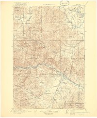
1921 · Drummond
USGS Topo · 1:125,000
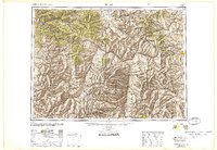
1947 · Butte
USGS Topo · 1:250,000
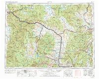
1958 · Butte
USGS Topo · 1:250,000
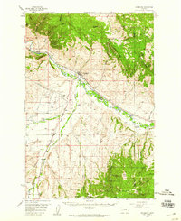
1958 · Drummond
USGS Topo · 1:62,500
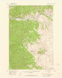
1959 · Bearmouth
USGS Topo · 1:62,500
1960 · Butte
USGS Topo · 1:250,000
1962 · Butte
USGS Topo · 1:250,000
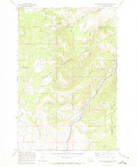
1971 · Henderson Mountain
USGS Topo · 1:24,000