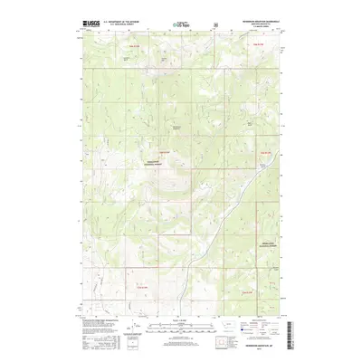
2017 Map of Henderson Mountain
USGS Topo · Published 2017About this map
Henderson Mountain dominates this portion of the Deerlodge National Forest, where steep drainages and mountain peaks define the topography of Granite County. The drainage network is complex, with Flint Creek flowing along the eastern boundary, fed by numerous seasonal and perennial streams including Sawmill Cr and Smart Cr. These watercourses have carved distinct geographic features like Gaylord Gulch and Pickett Gulch, which provide natural corridors through the high country.
Find a feature on this map
24 named features on this map. Tap any name to fly to it.
Don’t see what you’re looking for? This feature index may not catch every label — zoom into the map to look around manually.
Map Details
Editions of this 2017 Henderson Mountain Map
This is the sole edition of this map. No revisions or reprints were ever made.
Other maps of this area
1908 · Philipsburg
USGS Topo · 1:125,000
1919 · Drummond
USGS Topo · 1:125,000
1921 · Drummond
USGS Topo · 1:125,000
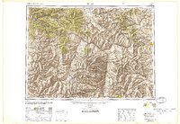
1947 · Butte
USGS Topo · 1:250,000
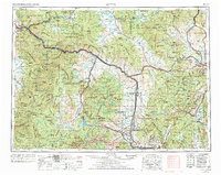
1958 · Butte
USGS Topo · 1:250,000
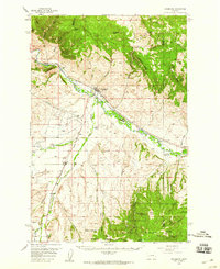
1958 · Drummond
USGS Topo · 1:62,500
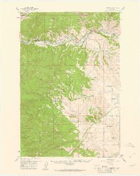
1959 · Bearmouth
USGS Topo · 1:62,500
1960 · Butte
USGS Topo · 1:250,000
1962 · Butte
USGS Topo · 1:250,000
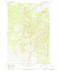
1971 · Henderson Mountain
USGS Topo · 1:24,000