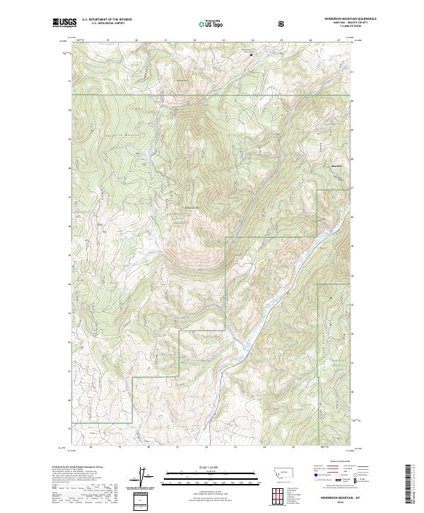
2024 Map of Henderson Mountain
USGS Topo · Published 2024About this map
Maxville sits at the eastern edge of this mountain terrain, where the northern end of the Flint Creek Range meets the valley floor. The map highlights the high-elevation transition between the Sapphire Mountains to the west and the expansive timberlands of the Deerlodge National Forest. This section of Granite County is defined by its drainage systems, where Henderson Creek and Smart Creek descend from the peaks of Sunrise Mtn and Henderson Mtn toward the Flint Creek corridor. A notable historical point of interest is the Emmetsburg Cem Monument, located in the north near the boundary of T9N R13W. The landscape is crisscrossed by a network of forest and county roads, including Black Pine Rd and John Long Rd, providing access to the deep gulches like Gaylord Gulch and Ham Gulch that characterize the region's mining and ranching geography.
Find a feature on this map
30 named features on this map. Tap any name to fly to it.
Don’t see what you’re looking for? This feature index may not catch every label — zoom into the map to look around manually.
Map Details
Editions of this 2024 Henderson Mountain Map
This is the sole edition of this map. No revisions or reprints were ever made.
Other maps of this area

1908 · Philipsburg
USGS Topo · 1:125,000

1919 · Drummond
USGS Topo · 1:125,000

1921 · Drummond
USGS Topo · 1:125,000

1947 · Butte
USGS Topo · 1:250,000

1958 · Butte
USGS Topo · 1:250,000

1958 · Drummond
USGS Topo · 1:62,500

1959 · Bearmouth
USGS Topo · 1:62,500

1960 · Butte
USGS Topo · 1:250,000

1962 · Butte
USGS Topo · 1:250,000

1971 · Henderson Mountain
USGS Topo · 1:24,000