
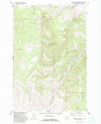
1971 Map of Henderson Mountain
USGS Topo · Published 1973About this map
Mining operations and industrial leftovers dominate this high-altitude section of the Deerlodge National Forest during the early 1970s. The landscape is heavily marked by extraction history, from the Black Pine Mine in the west to the numerous prospects and mines scattered across the slopes of Henderson Mountain. Along Henderson Creek, the topography specifically notes Placer Mine activity and significant Dredge Tailings, evidence of the intensive search for minerals that reshaped the local valley floors.
Find a feature on this map
22 named features on this map. Tap any name to fly to it.
Don’t see what you’re looking for? This feature index may not catch every label — zoom into the map to look around manually.
Map Details
Editions of this 1971 Henderson Mountain Map
2 editions found
Other maps of this area

1908 · Philipsburg
USGS Topo · 1:125,000

1919 · Drummond
USGS Topo · 1:125,000

1921 · Drummond
USGS Topo · 1:125,000

1947 · Butte
USGS Topo · 1:250,000

1958 · Butte
USGS Topo · 1:250,000

1958 · Drummond
USGS Topo · 1:62,500

1959 · Bearmouth
USGS Topo · 1:62,500

1960 · Butte
USGS Topo · 1:250,000

1962 · Butte
USGS Topo · 1:250,000
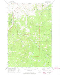
1971 · Maxville
USGS Topo · 1:24,000