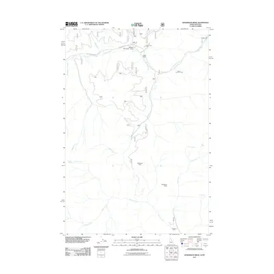
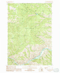
2011 Map of Henderson Ridge
USGS Topo · Published 2011About this map
Hughes Creek and its many tributaries, including Chrandal Creek and McConn Creek, carve through this section of the Bitterroot National Forest on the Idaho-Montana border. The presence of the Hughes Creek Placer Mine and the Taylor Creek Mine illustrates the legacy of mineral extraction in this remote drainage system. Resource management and backcountry access are facilitated by Hughes Creek Rd, which tracks the primary waterway past numerous named gulches like Robb Gulch and Meadow Gulch.
Find a feature on this map
22 named features on this map. Tap any name to fly to it.
Don’t see what you’re looking for? This feature index may not catch every label — zoom into the map to look around manually.
Map Details
Editions of this 2011 Henderson Ridge Map
This is the sole edition of this map. No revisions or reprints were ever made.
Other maps of this area

1956 · Elk City
USGS Topo · 1:250,000

1960 · Elk City
USGS Topo · 1:250,000
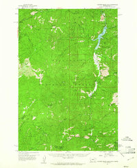
1960 · Painted Rocks Lake
USGS Topo · 1:62,500
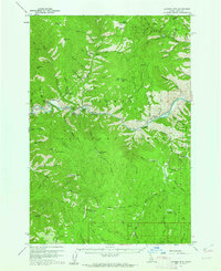
1960 · Ulysses Mtn
USGS Topo · 1:62,500
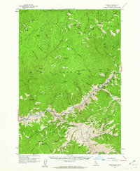
1960 · Shoup
USGS Topo · 1:62,500
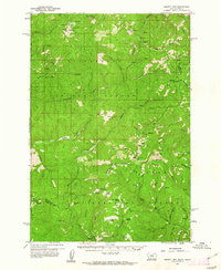
1960 · Piquett Mountain
USGS Topo · 1:62,500
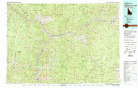
1982 · Bighorn Crags
USGS Topo · 1:100,000
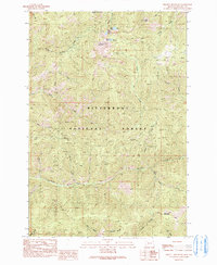
1991 · Piquett Mountain
USGS Topo · 1:24,000
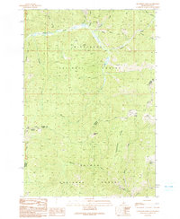
1991 · Henderson Ridge
USGS Topo · 1:24,000
1991 · Ulysses Mountain
USGS Topo · 1:24,000