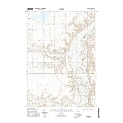
2016 Map of Henderson
USGS Topo · Published 2016About this map
Henderson sits at the junction of the meandering Minnesota River and the deeply incised valleys of its tributaries, including the Rush River and High Island Creek. This area of southern Minnesota is defined by a landscape where upland agricultural fields drop sharply into the river's broad alluvial plain. The settlement of Jessenland and the town of Le Sueur are prominent landmarks, with the river serving as a persistent boundary between Sibley, Scott, and Le Sueur Counties. Local heritage is preserved in several rural burial grounds such as Saint Joseph Cem, Saint Thomas Cem, and Brown Cem, while the northern portion of the map is dominated by the sprawling waters of Silver Lake. The intricate network of township roads and county highways, like Co Hwy 27 and Scenic Byway Rd, traces the varied topography between the river bluffs and the prairie level.
Find a feature on this map
39 named features on this map. Tap any name to fly to it.
Don’t see what you’re looking for? This feature index may not catch every label — zoom into the map to look around manually.
Map Details
Editions of this 2016 Henderson Map
This is the sole edition of this map. No revisions or reprints were ever made.
Other maps of this area

1953 · Saint Paul
USGS Topo · 1:250,000

1953 · New Ulm
USGS Topo · 1:250,000

1957 · New Ulm
USGS Topo · 1:250,000

1957 · Belle Plaine
USGS Topo · 1:62,500

1958 · New Ulm
USGS Topo · 1:250,000

1958 · Gaylord
USGS Topo · 1:62,500

1959 · Saint Paul
USGS Topo · 1:250,000

1965 · Norseland
USGS Topo · 1:24,000

1965 · Le Sueur
USGS Topo · 1:24,000

1965 · St Thomas
USGS Topo · 1:24,000