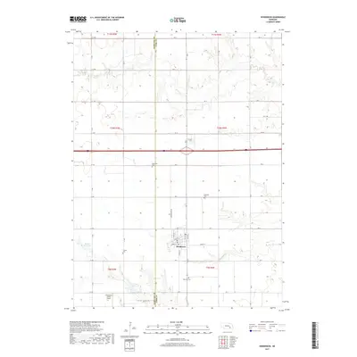
2017 Map of Henderson
USGS Topo · Published 2017About this map
Henderson occupies the center of this agricultural landscape in the plains of eastern Nebraska. The town’s layout, defined by streets like Oak St and Birch St, is flanked by several cultural landmarks that reflect the local heritage of the region, including the Mennonite Cem, Bethesda Cem, and Ebenezer Cem. Water management is a primary feature of the surrounding rural sections, characterized by the presence of Bergen Reservoir and Friesen Reservoir, alongside the meandering paths of Beaver Cr and Bear Cr. Aviation interest is noted at the Boardman Aerial Airport in the southwest. The map also delineates the county line between Hamilton Co and York Co, illustrating how administrative boundaries bisect the farmsteads and rural road networks of the area.
Find a feature on this map
40 named features on this map. Tap any name to fly to it.
Don’t see what you’re looking for? This feature index may not catch every label — zoom into the map to look around manually.
Map Details
Editions of this 2017 Henderson Map
This is the sole edition of this map. No revisions or reprints were ever made.
Other maps of this area
1898 · York
USGS Topo · 1:125,000
1899 · York
USGS Topo · 1:125,000
1955 · Lincoln
USGS Topo · 1:250,000
1957 · Lincoln
USGS Topo · 1:250,000
1958 · Lincoln
USGS Topo · 1:250,000
1968 · Aurora East
USGS Topo · 1:24,000
1968 · Hampton
USGS Topo · 1:24,000
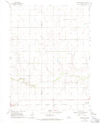
1968 · Henderson NE
USGS Topo · 1:24,000
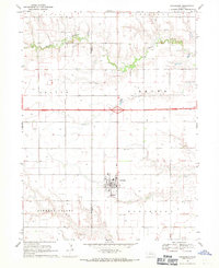
1968 · Henderson
USGS Topo · 1:24,000
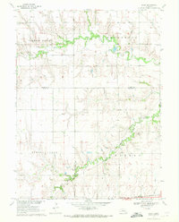
1969 · Bixby
USGS Topo · 1:24,000