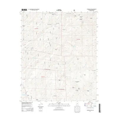
2013 Map of Hendricks Peak
USGS Topo · Published 2013About this map
Hendricks Peak rises as a prominent landmark within the Gila National Forest, anchoring a high-country landscape defined by deep drainages and cattle-ranching infrastructure. The Mimbres River and its East Fork carve through the terrain, supported by an extensive network of water catchments such as Kelly Mesa Tank, Lake Superior Tank, and Juan Mesa Tank Number Two. These features, along with the Bear Canyon Reservoir, reveal the critical importance of water management in this arid Grant County highlands. Forest access is provided by primitive routes including Mc Knight Rd and Rocking Spear Ranch Rd, which connect the mesas and canyons. From the elevation of Kelly Mesa to the designated area of Rabb Park, the map illustrates a balance between protected public lands and the legacy of seasonal grazing operations.
Find a feature on this map
71 named features on this map. Tap any name to fly to it.
Don’t see what you’re looking for? This feature index may not catch every label — zoom into the map to look around manually.
Map Details
Editions of this 2013 Hendricks Peak Map
This is the sole edition of this map. No revisions or reprints were ever made.
Other maps of this area
1909 · Silver City
USGS Topo · 1:125,000
1911 · Alum Mountain
USGS Topo · 1:125,000
1913 · Alum Mountain
USGS Topo · 1:125,000
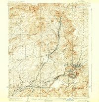
1937 · Santa Rita
USGS Topo · 1:24,000
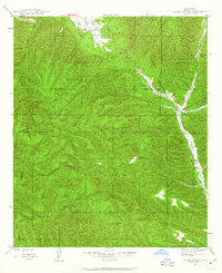
1947 · Allie Canyon
USGS Topo · 1:24,000
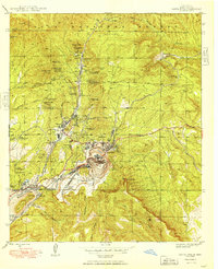
1948 · Santa Rita
USGS Topo · 1:24,000
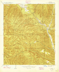
1948 · Allie Canyon
USGS Topo · 1:24,000
1951 · Santa Rita
USGS Topo · 1:24,000

1954 · Tularosa
USGS Topo · 1:250,000

1954 · Silver City
USGS Topo · 1:250,000