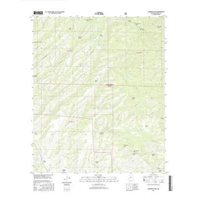
2017 Map of Hendricks Peak
USGS Topo · Published 2017About this map
Gila National Forest encompasses this high-elevation terrain, dominated by a complex network of canyons and mesas in the southwestern wilderness. The land is marked by numerous water catchment features, suggesting the vital importance of water management in this arid environment. Notable examples include Lake Superior Tank, Juan Mesa Tank, and the Kelly Mesa Tank, which are scattered among prominent elevations such as Hendricks Peak and Mud Springs Mtn.
Find a feature on this map
67 named features on this map. Tap any name to fly to it.
Don’t see what you’re looking for? This feature index may not catch every label — zoom into the map to look around manually.
Map Details
Editions of this 2017 Hendricks Peak Map
This is the sole edition of this map. No revisions or reprints were ever made.
Other maps of this area
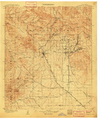
1909 · Silver City
USGS Topo · 1:125,000
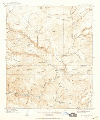
1911 · Alum Mountain
USGS Topo · 1:125,000
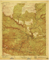
1913 · Alum Mountain
USGS Topo · 1:125,000
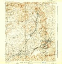
1937 · Santa Rita
USGS Topo · 1:24,000
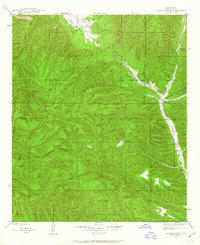
1947 · Allie Canyon
USGS Topo · 1:24,000
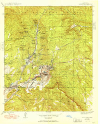
1948 · Santa Rita
USGS Topo · 1:24,000
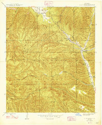
1948 · Allie Canyon
USGS Topo · 1:24,000
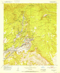
1951 · Santa Rita
USGS Topo · 1:24,000

1954 · Tularosa
USGS Topo · 1:250,000

1954 · Silver City
USGS Topo · 1:250,000