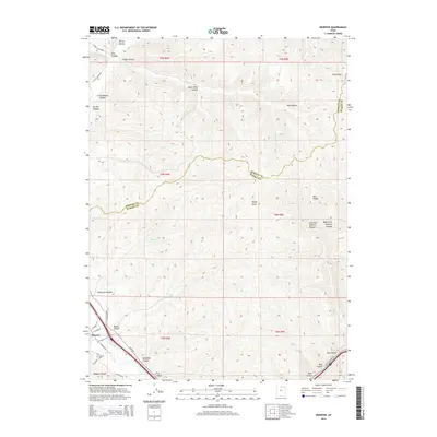
2014 Map of Henefer
USGS Topo · Published 2014About this map
The town of Henefer sits at the southwestern edge of this survey, where the Weber River carves a path through the northern reaches of the Wasatch Range. This location has long served as a vital transit corridor, evidenced here by the convergence of the river with the Echo Cr drainage and major local thoroughfares like Echo Rd. The terrain is characterized by a dense network of drainages and named hollows, including Bear Hollow and Pole Hollow, which feed into the primary river systems.
Find a feature on this map
43 named features on this map. Tap any name to fly to it.
Don’t see what you’re looking for? This feature index may not catch every label — zoom into the map to look around manually.
Map Details
Editions of this 2014 Henefer Map
This is the sole edition of this map. No revisions or reprints were ever made.
Other maps of this area

1885 · Salt Lake
USGS Topo · 1:250,000

1900 · Coalville
USGS Topo · 1:125,000

1903 · Coalville
USGS Topo · 1:125,000

1925 · Ft. Douglas
USGS Topo · 1:125,000

1928 · Ft. Douglas
USGS Topo · 1:125,000

1954 · Salt Lake City
USGS Topo · 1:250,000

1954 · Ogden
USGS Topo · 1:250,000

1958 · Ogden
USGS Topo · 1:250,000

1958 · Salt Lake City
USGS Topo · 1:250,000

1960 · Ogden
USGS Topo · 1:250,000