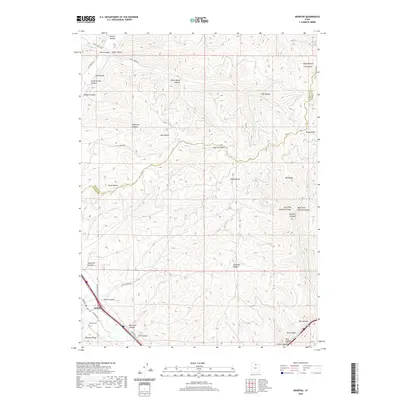
2020 Map of Henefer
USGS Topo · Published 2020About this map
Henefer sits at the southwestern edge of this landscape, positioned along the banks where several drainages descend from the Wasatch Range. The settlement pattern follows the lower elevation roads like S Henefer Rd and Main St, while the surrounding terrain is defined by a complex network of canyons and hollows. Notable among these are Bald Rock Canyon and Owens Canyon, which provide natural corridors through the high country.
Find a feature on this map
44 named features on this map. Tap any name to fly to it.
Don’t see what you’re looking for? This feature index may not catch every label — zoom into the map to look around manually.
Map Details
Editions of this 2020 Henefer Map
This is the sole edition of this map. No revisions or reprints were ever made.
Other maps of this area

1885 · Salt Lake
USGS Topo · 1:250,000

1900 · Coalville
USGS Topo · 1:125,000

1903 · Coalville
USGS Topo · 1:125,000

1925 · Ft. Douglas
USGS Topo · 1:125,000

1928 · Ft. Douglas
USGS Topo · 1:125,000

1954 · Salt Lake City
USGS Topo · 1:250,000

1954 · Ogden
USGS Topo · 1:250,000

1958 · Ogden
USGS Topo · 1:250,000

1958 · Salt Lake City
USGS Topo · 1:250,000

1960 · Ogden
USGS Topo · 1:250,000