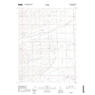
2021 Map of Henleyville
USGS Topo · Published 2021About this map
Henleyville sits at the heart of this agricultural landscape in Tehama County, where the northern Sacramento Valley begins its transition toward the foothills. The settlement is defined by a grid of orchards and rural roads, with Thomes Cr and Mill Cr cutting eastward through the terrain. To the south, the distinct geographic feature of Squaw Hollow breaks the valley floor, surrounded by seasonal drainages like Jewett Cr and Houghton Cr. The map reveals a high density of named rural thoroughfares such as Freeman Schoolhouse RD and Butte Mountain RD, which historically served the scattered ranching and farming operations in this part of the Central Valley. The drainage patterns of Coyote Cr and Mcclure Cr in the north suggest a landscape shaped by intermittent water flows characteristic of the region.
Find a feature on this map
59 named features on this map. Tap any name to fly to it.
Don’t see what you’re looking for? This feature index may not catch every label — zoom into the map to look around manually.
Map Details
Editions of this 2021 Henleyville Map
This is the sole edition of this map. No revisions or reprints were ever made.
Other maps of this area

1890 · Red Bluff
USGS Topo · 1:250,000

1894 · Red Bluff
USGS Topo · 1:250,000

1904 · Vina
USGS Topo · 1:62,500

1905 · Tehama
USGS Topo · 1:62,500

1914 · Kirkwood
USGS Topo · 1:31,680

1944 · Flournoy
USGS Topo · 1:62,500
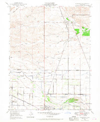
1949 · Kirkwood
USGS Topo · 1:24,000
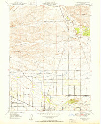
1950 · Kirkwood
USGS Topo · 1:24,000

1950 · Gerber
USGS Topo · 1:24,000

1951 · Gerber
USGS Topo · 1:24,000