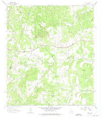
1963 Map of Henly
USGS Topo · Published 1975About this map
The tiny settlement of Henly serves as the focal point for this 1963 survey of the Texas Hill Country near the Blanco Co Hays Co boundary. The landscape is defined by its numerous watercourses, including the headwaters of Onion Creek and its many tributaries like Millseat Branch and Cadell Branch. Higher elevations are marked by Gainor Mountain and Mount Gainor to the southeast, while Roundtree Mountain rises to the south.
Find a feature on this map
30 named features on this map. Tap any name to fly to it.
Don’t see what you’re looking for? This feature index may not catch every label — zoom into the map to look around manually.
Map Details
Editions of this 1963 Henly Map
4 editions found
Other maps of this area

1887 · Blanco
USGS Topo · 1:125,000

1894 · Blanco
USGS Topo · 1:125,000

1954 · Llano
USGS Topo · 1:250,000

1955 · Llano
USGS Topo · 1:250,000

1956 · Llano
USGS Topo · 1:250,000
1963 · Dripping Springs
USGS Topo · 1:24,000
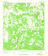
1963 · Rough Hollow
USGS Topo · 1:24,000

1963 · Yeager Creek
USGS Topo · 1:24,000
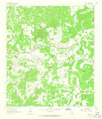
1963 · Henly
USGS Topo · 1:24,000
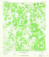
1963 · Payton
USGS Topo · 1:24,000