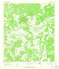
1963 Map of Henly
USGS Topo · Published 1965About this map
Henly serves as the central settlement on this Hays County landscape, positioned where the Blanco Co and Hays Co line divides the rolling terrain. The map captures a detailed rural network of family landholdings and small burial grounds, including the Middlebrooks Cem and Sprouse Cem. The drainage pattern is particularly dense, defined by the headwaters of Onion Creek and its many tributaries like Mustang Branch and Grooms Branch. Prominent elevations such as Gainor Mountain and Roundtree Mountain rise above the creek valleys, while a Landing Strip and local paths like Holder Lane indicate the infrastructure of the early 1960s. This survey is a critical resource for genealogists, as it meticulously plots numerous small family plots such as Dye Cem and McKellar Cem that might otherwise be overlooked.
Find a feature on this map
37 named features on this map. Tap any name to fly to it.
Don’t see what you’re looking for? This feature index may not catch every label — zoom into the map to look around manually.
Map Details
Editions of this 1963 Henly Map
4 editions found
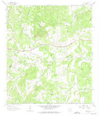
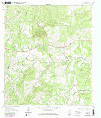
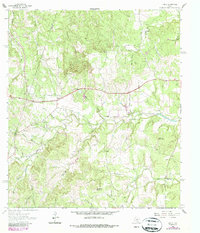
Other maps of this area

1887 · Blanco
USGS Topo · 1:125,000

1894 · Blanco
USGS Topo · 1:125,000

1954 · Llano
USGS Topo · 1:250,000

1955 · Llano
USGS Topo · 1:250,000

1956 · Llano
USGS Topo · 1:250,000
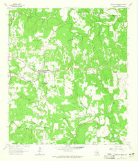
1963 · Dripping Springs
USGS Topo · 1:24,000
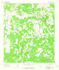
1963 · Rough Hollow
USGS Topo · 1:24,000

1963 · Yeager Creek
USGS Topo · 1:24,000
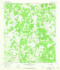
1963 · Payton
USGS Topo · 1:24,000
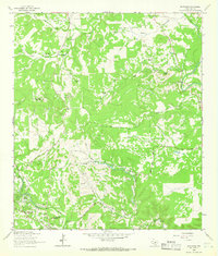
1964 · Driftwood
USGS Topo · 1:24,000