
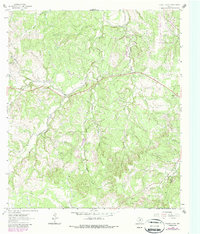
1963 Map of Yeager Creek
USGS Topo · Published 1965About this map
Miller Creek and Yeager Creek define the drainage patterns of this Hill Country landscape in Blanco County during the early 1960s. The area is characterized by a dense network of watercourses, including Middle Creek, Butler Creek, and McCall Creek, which carve through the terrain. Unlike more developed regions, the map reveals a sparsely populated ranching or agricultural environment, where land divisions are often noted by fine red dashed lines indicating fence lines rather than dense town sites.
Find a feature on this map
17 named features on this map. Tap any name to fly to it.
Don’t see what you’re looking for? This feature index may not catch every label — zoom into the map to look around manually.
Map Details
Editions of this 1963 Yeager Creek Map
2 editions found
Other maps of this area

1887 · Blanco
USGS Topo · 1:125,000

1894 · Blanco
USGS Topo · 1:125,000

1954 · Llano
USGS Topo · 1:250,000

1955 · Llano
USGS Topo · 1:250,000

1956 · Llano
USGS Topo · 1:250,000
1961 · Johnson City
USGS Topo · 1:24,000
1963 · Rough Hollow
USGS Topo · 1:24,000
1963 · Henly
USGS Topo · 1:24,000
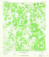
1963 · Payton
USGS Topo · 1:24,000
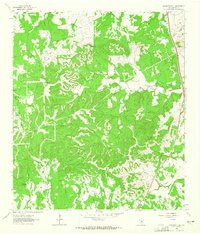
1963 · Monument Hill
USGS Topo · 1:24,000