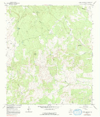
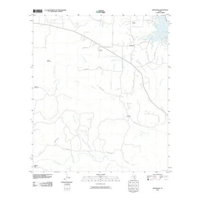
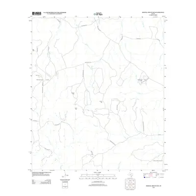
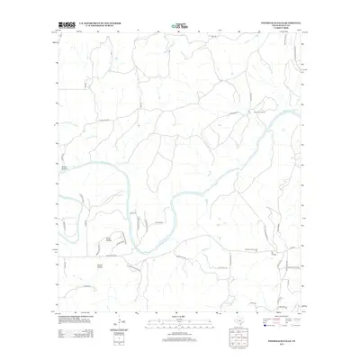
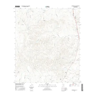
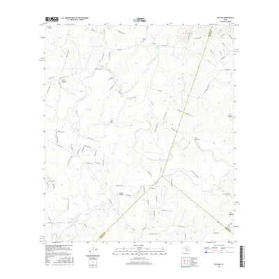
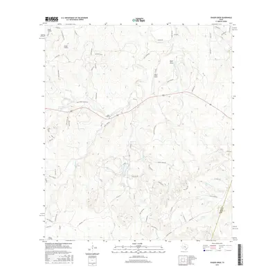
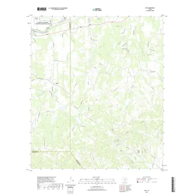
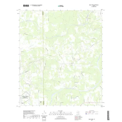
1963 Map of Yeager Creek
USGS Topo · Published 1987About this map
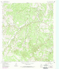
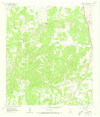
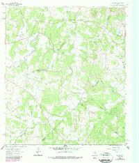
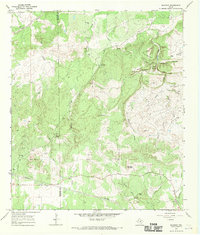
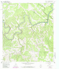
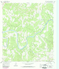
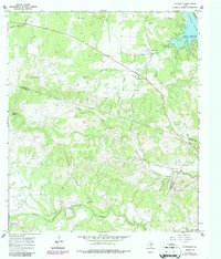
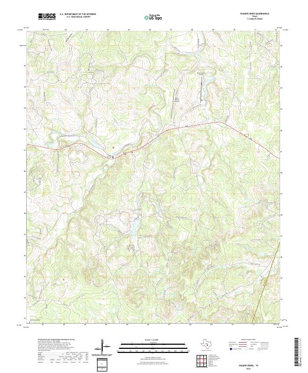
Turkey Creek winds through the interior of this Texas Hill Country landscape, part of a drainage system defined by deep limestone draws like Brock Hollow and Rough Hollow. The terrain is characterized by a high density of relief, with numerous unnamed seasonal branches feeding into the larger watercourses. While settlement is sparse on this specific sheet, the map provides a distinct record of the rural land divisions and the network of unimproved roads and fence lines that shaped ranching and land use in the region during the early 1960s. The topography illustrates the natural erosion patterns typical of the Edwards Plateau, where small creeks and hollows dictate the location of local travel routes and property boundaries.
Find a feature on this map
3 named features on this map. Tap any name to fly to it.
Don’t see what you’re looking for? This feature index may not catch every label — zoom into the map to look around manually.
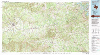
Map Details
Editions of this 1963 Yeager Creek Map
2 editions found
Historical Maps of Hays County Through Time
61 maps found
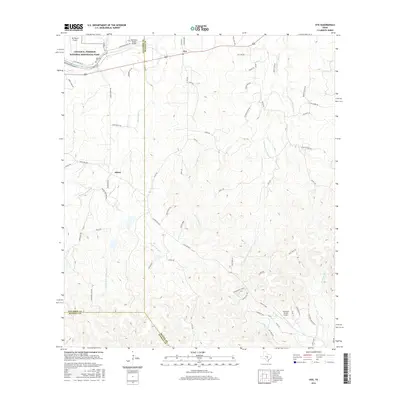
1961 Hye
Blanco County, TX
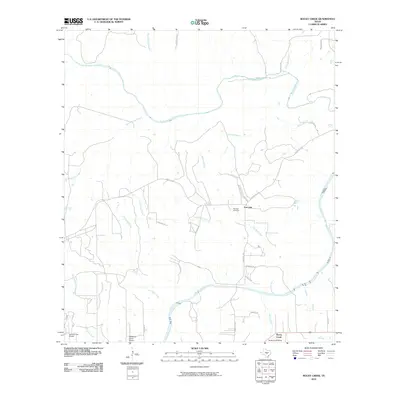
1961 Rocky Creek
Blanco County, TX
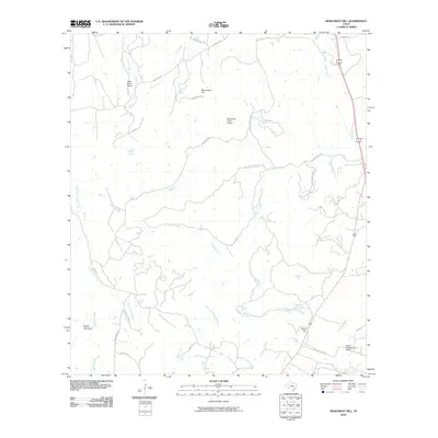
1963 Monument Hill
Blanco County, TX
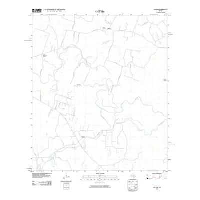
1963 Payton
Blanco County, TX
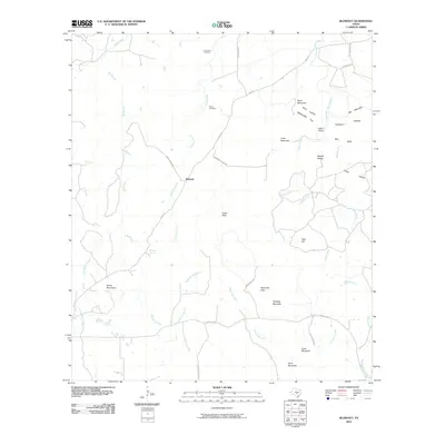
1963 Yeager Creek
Blanco County, TX
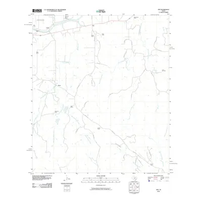
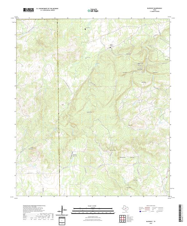
1967 Blowout
Blanco County, TX
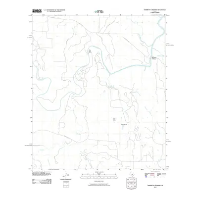
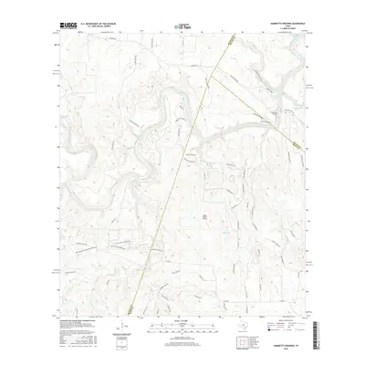
1967 Hammetts Crossing
Blanco County, TX
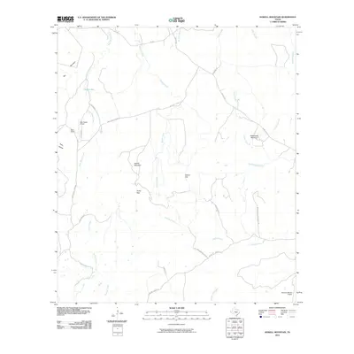
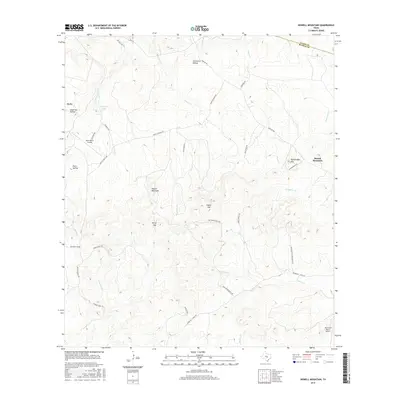
1967 Howell Mountain
Blanco County, TX
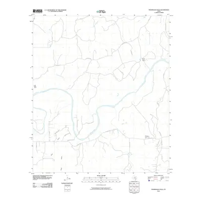
1967 Pedernales Falls
Blanco County, TX
1967 Spicewood
Blanco County, TX
1985 Pedernales River
Blanco County, TX
2010 Blowout
Blanco County, TX
2010 Hammetts Crossing
Blanco County, TX
2010 Howell Mountain
Blanco County, TX
2010 Hye
Blanco County, TX
2010 Monument Hill
Blanco County, TX
2010 Payton
Blanco County, TX
2010 Pedernales Falls
Blanco County, TX
2010 Rocky Creek
Blanco County, TX
2010 Spicewood
Blanco County, TX
2010 Yeager Creek
Blanco County, TX
2012 Blowout
Blanco County, TX
2012 Hammetts Crossing
Blanco County, TX
2012 Howell Mountain
Blanco County, TX
2012 Hye
Blanco County, TX
2012 Monument Hill
Blanco County, TX
2012 Payton
Blanco County, TX
2012 Pedernales Falls
Blanco County, TX
2012 Rocky Creek
Blanco County, TX
2012 Spicewood
Blanco County, TX

2012 Yeager Creek
Blanco County, TX
2016 Blowout
Blanco County, TX
2016 Hammetts Crossing
Blanco County, TX
2016 Howell Mountain
Blanco County, TX
2016 Hye
Blanco County, TX
2016 Monument Hill
Blanco County, TX
2016 Payton
Blanco County, TX
2016 Pedernales Falls
Blanco County, TX
2016 Rocky Creek
Blanco County, TX
2016 Spicewood
Blanco County, TX
2016 Yeager Creek
Blanco County, TX
2019 Blowout
Blanco County, TX
2019 Hammetts Crossing
Blanco County, TX
2019 Howell Mountain
Blanco County, TX
2019 Hye
Blanco County, TX
2019 Monument Hill
Blanco County, TX
2019 Payton
Blanco County, TX
2019 Pedernales Falls
Blanco County, TX
2019 Rocky Creek
Blanco County, TX
2019 Spicewood
Blanco County, TX
2019 Yeager Creek
Blanco County, TX
2022 Blowout
Blanco County, TX
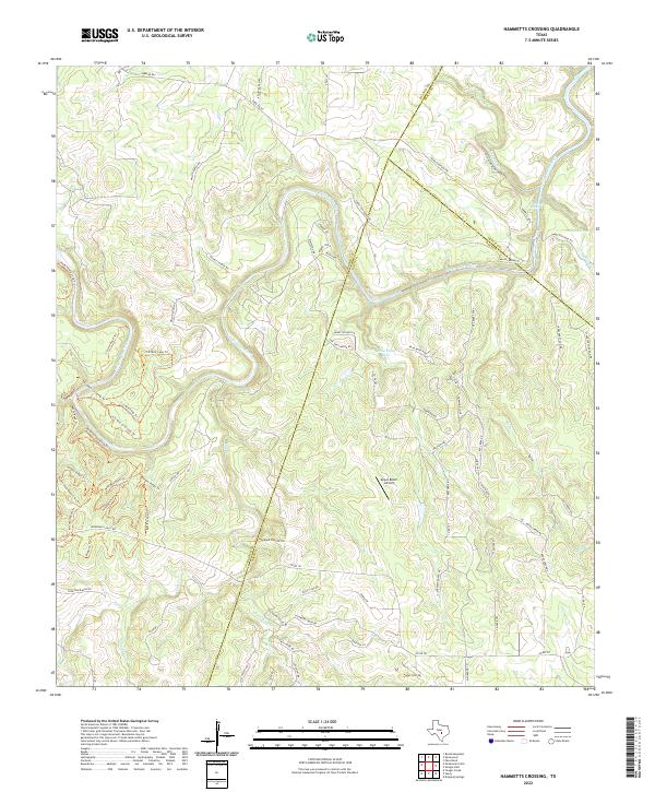
2022 Hammetts Crossing
Blanco County, TX
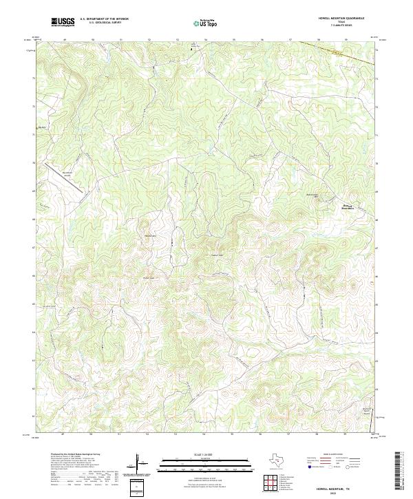
2022 Howell Mountain
Blanco County, TX
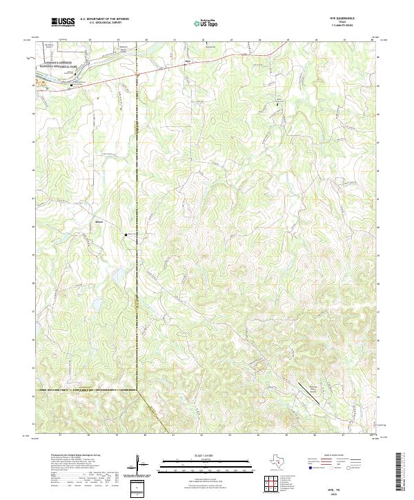
2022 Hye
Blanco County, TX
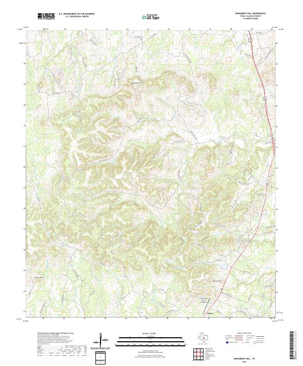
2022 Monument Hill
Blanco County, TX
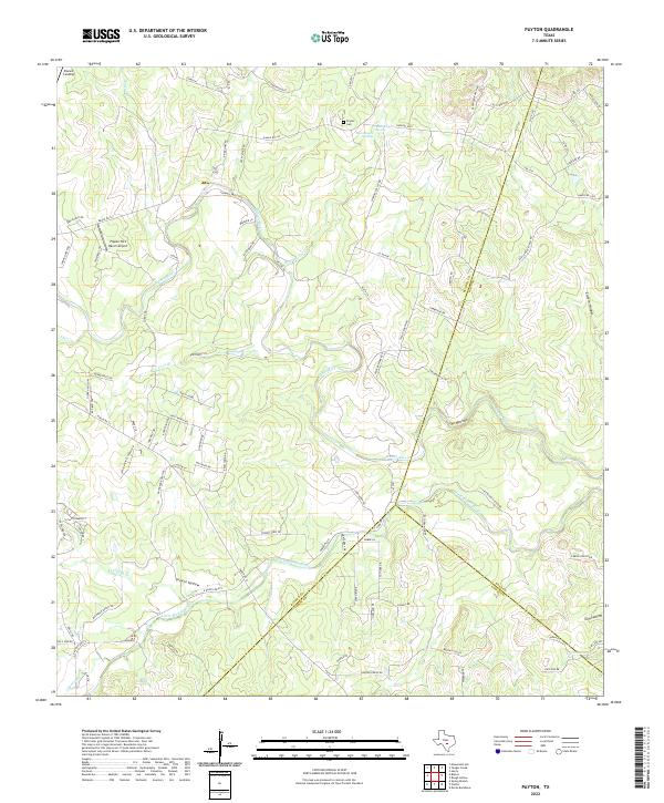
2022 Payton
Blanco County, TX
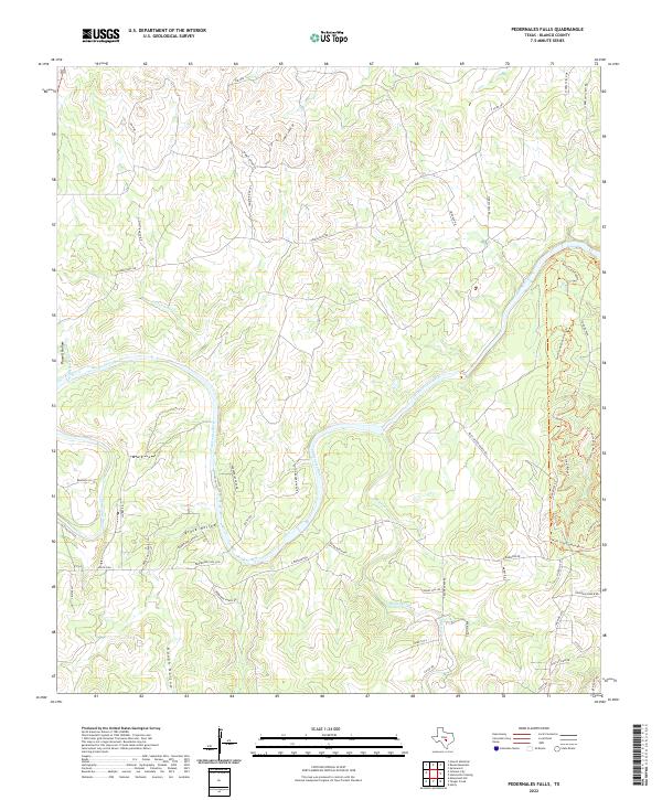
2022 Pedernales Falls
Blanco County, TX
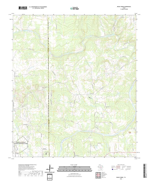
2022 Rocky Creek
Blanco County, TX
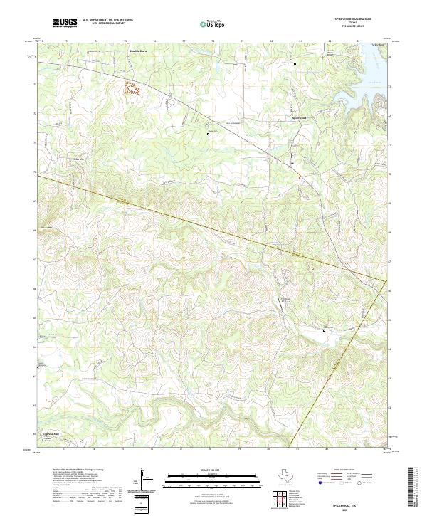
2022 Spicewood
Blanco County, TX
2022 Yeager Creek
Blanco County, TX