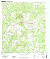
1963 Map of Henly
USGS Topo · Published 1987About this map
The settlement of Henly sits at the center of this Texas Hill Country survey, marking a transition point between the rugged drainages of the Blanco Co Hays Co boundary. The landscape is defined by an intricate network of waterways, including the upper reaches of Barton Creek and the meandering Onion Creek, which are fed by numerous family-named branches like Cadell Branch and Eskew Branch. These watercourses carve through the terrain, creating hollows such as Sprouse Hollow and Schoolhouse Hollow that dictate the historical placement of homes and roads.
Find a feature on this map
40 named features on this map. Tap any name to fly to it.
Don’t see what you’re looking for? This feature index may not catch every label — zoom into the map to look around manually.
Map Details
Editions of this 1963 Henly Map
4 editions found
Other maps of this area

1887 · Blanco
USGS Topo · 1:125,000

1894 · Blanco
USGS Topo · 1:125,000

1954 · Llano
USGS Topo · 1:250,000

1955 · Llano
USGS Topo · 1:250,000

1956 · Llano
USGS Topo · 1:250,000
1963 · Dripping Springs
USGS Topo · 1:24,000
1963 · Rough Hollow
USGS Topo · 1:24,000

1963 · Yeager Creek
USGS Topo · 1:24,000
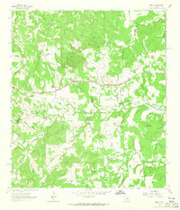
1963 · Henly
USGS Topo · 1:24,000
1963 · Payton
USGS Topo · 1:24,000