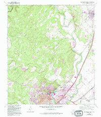
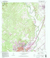
1964 Map of San Marcos North
USGS Topo · Published 1994About this map
Southwest Texas State University and the downtown district of San Marcos dominate the southern portion of this landscape, where the San Marcos River and Spring Lake emerge from the Balcones Escarpment. The 1994 map revisions highlight the rapid suburban expansion north of the city center, specifically the emergence of several Mobile Home Park locations along the corridor toward Kyle. This growth contrasts with the established institutional presence of the San Marcos Baptist Academy and the clustering of community sites like San Marcos Cemetery and the Armory. To the north, the Blanco River winds toward Fivemile Dam Park, passing under Limekiln Road. Local history is preserved in the location of the San Vincente Church and its associated cemetery, as well as the transition from industrial Gravel Pit sites to recreational greenspace.
Find a feature on this map
47 named features on this map. Tap any name to fly to it.
Don’t see what you’re looking for? This feature index may not catch every label — zoom into the map to look around manually.
Map Details
Editions of this 1964 San Marcos North Map
5 editions found
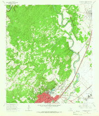
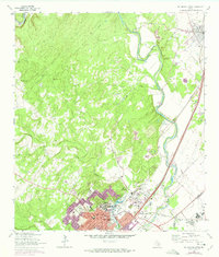
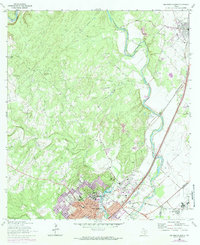
Other maps of this area

1887 · Blanco
USGS Topo · 1:125,000

1894 · Blanco
USGS Topo · 1:125,000

1896 · Austin
USGS Topo · 1:125,000

1897 · Austin
USGS Topo · 1:125,000

1910 · Austin
USGS Topo · 1:125,000

1911 · San Marcos
USGS Topo · 1:125,000

1919 · San Marcos
USGS Topo · 1:125,000

1929 · Hunter
USGS Topo · 1:62,500

1953 · Seguin
USGS Topo · 1:250,000

1954 · Llano
USGS Topo · 1:250,000