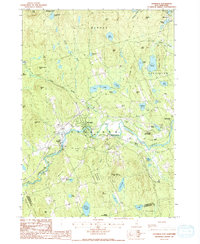
1987 Map of Henniker
USGS Topo · Published 1992About this map
The Contoocook River meanders through the heart of this New Hampshire landscape, providing a geographical anchor for the village of Henniker and the smaller industrial clusters of West Henniker and Henniker Junction. The river's path is mirrored by old railroad grades that once linked these mill settlements to the wider regional economy. Surrounded by a network of state forests, including Harriman-Chandler State Forest and Contoocook State Forest, the area maintains a character defined by its timber and water resources.
Find a feature on this map
57 named features on this map. Tap any name to fly to it.
Don’t see what you’re looking for? This feature index may not catch every label — zoom into the map to look around manually.
Map Details
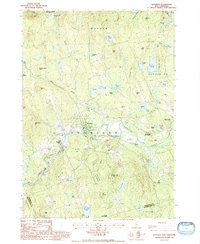
Editions of this 1987 Henniker Map
2 editions found
Other maps of this area

1926 · Hillsboro
USGS Topo · 1:62,500

1927 · Concord
USGS Topo · 1:62,500

1927 · Penacook
USGS Topo · 1:62,500

1928 · Mount Kearsarge
USGS Topo · 1:62,500

1929 · Hillsboro
USGS Topo · 1:62,500

1931 · Mount Kearsarge
USGS Topo · 1:62,500

1949 · Portland
USGS Topo · 1:250,000

1949 · Concord
USGS Topo · 1:62,500

1956 · Penacook
USGS Topo · 1:62,500

1956 · Mt. Kearsarge
USGS Topo · 1:62,500