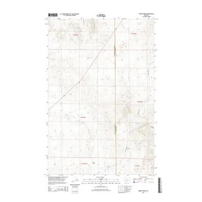
2014 Map of Henry Creek
USGS Topo · Published 2014About this map
The Lewis and Clark Co Cascade Co boundary bisects this high plains landscape, where an intricate network of irrigation reflects the area's agricultural history. Named water management features like Knudson Ditch, Garino Ditch, and Hultine Ditch branch off from Flat Cr and Willow Cr, illustrating a reliance on diverted water for ranching or farming. The terrain is marked by distinctive formations such as Sullivan Hill and the long depression of Long Coulee. Settlement is sparse, represented primarily by rural roads like Birdtail Creek Rd and Long Butte Rd that connect remote homesteads or ranching operations. Natural water sources like Bullwhacker Springs and several seasonal creeks including Henry Cr and Birdtail Cr define the drainage patterns across the county line.
Find a feature on this map
24 named features on this map. Tap any name to fly to it.
Don’t see what you’re looking for? This feature index may not catch every label — zoom into the map to look around manually.
Map Details
Editions of this 2014 Henry Creek Map
This is the sole edition of this map. No revisions or reprints were ever made.
Other maps of this area
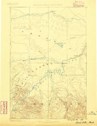
1886 · Great Falls
USGS Topo · 1:250,000
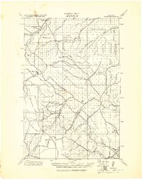
1943 · Hogan
USGS Topo · 1:125,000

1954 · Great Falls
USGS Topo · 1:250,000

1955 · Choteau
USGS Topo · 1:250,000

1957 · Choteau
USGS Topo · 1:250,000
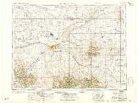
1957 · Great Falls
USGS Topo · 1:250,000
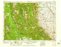
1958 · Choteau
USGS Topo · 1:250,000
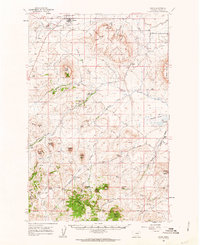
1960 · Simms
USGS Topo · 1:62,500
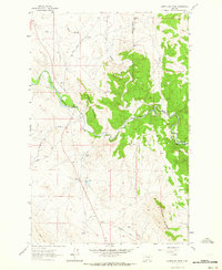
1961 · Coburn Mountain
USGS Topo · 1:24,000
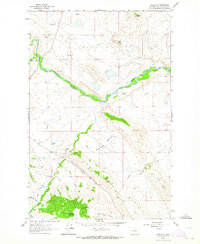
1961 · Comb Rock
USGS Topo · 1:24,000