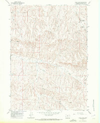
1966 Map of Henry Draw
USGS Topo · Published 1972About this map
Nowater Creek and Mud Creek dominate this mid-century Wyoming landscape, where the drainage patterns of the Bighorn Basin reveal a territory defined by water management and mineral exploration. The presence of specialized infrastructure like the McCarthy Well and various Oil Wells indicates the region's industrial focus during the 1960s. Ranching and land use are further evidenced by a series of named water catchments, including Hampton Reservoir No 3, Hampton Reservoir No 4, Scorpion Hill Reservoir, and Pinky Reservoir. These features, along with the distinct paths of Henry Draw and Murphy Dome Draw, illustrate the vital importance of irrigation and water storage in this arid environment. The map also traces physical developments like pipelines and pump stations that supported the remote operations of the era.
Find a feature on this map
17 named features on this map. Tap any name to fly to it.
Don’t see what you’re looking for? This feature index may not catch every label — zoom into the map to look around manually.
Map Details
Editions of this 1966 Henry Draw Map
2 editions found
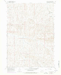
Other maps of this area

1955 · Arminto
USGS Topo · 1:250,000

1958 · Arminto
USGS Topo · 1:250,000

1960 · Coyote Hill
USGS Topo · 1:24,000

1960 · Packsaddle Creek
USGS Topo · 1:24,000

1962 · Arminto
USGS Topo · 1:250,000
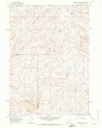
1966 · Zimmerman Buttes
USGS Topo · 1:24,000
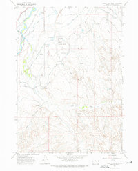
1966 · Banjo Flats West
USGS Topo · 1:24,000

1966 · Cabin Fork
USGS Topo · 1:24,000

1966 · Wagon Prong
USGS Topo · 1:24,000

1966 · Bader Draw
USGS Topo · 1:24,000