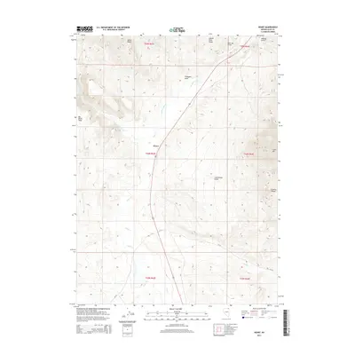
2014 Map of Henry
USGS Topo · Published 2014About this map
Henry sits at the junction of 93 and local routes in this high-desert region of Elko County, serving as a primary point of reference in an otherwise sparsely populated landscape. The geography is defined by a series of rugged uplands including the Salmon River Range to the north and the Granite Range to the southeast, with China Mtn marking a significant high point. Water is the critical shaping force for movement and settlement here, as seen in the drainage patterns of Salmon Falls Cr, Jakes Cr, and Knoll Cr that thread through the basins.
Find a feature on this map
25 named features on this map. Tap any name to fly to it.
Don’t see what you’re looking for? This feature index may not catch every label — zoom into the map to look around manually.
Map Details
Editions of this 2014 Henry Map
This is the sole edition of this map. No revisions or reprints were ever made.
Other maps of this area

1955 · Wells
USGS Topo · 1:250,000
1957 · Contact
USGS Topo · 1:62,500
1957 · Delaplain
USGS Topo · 1:62,500

1958 · Wells
USGS Topo · 1:250,000

1961 · Wells
USGS Topo · 1:250,000
1968 · Knoll Mountain
USGS Topo · 1:24,000
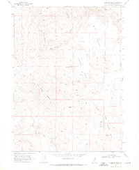
1968 · Hubbard Basin
USGS Topo · 1:24,000
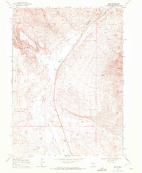
1968 · Henry
USGS Topo · 1:24,000
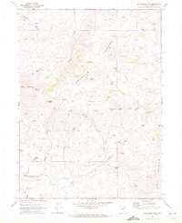
1968 · Blanchard Mtn
USGS Topo · 1:24,000
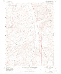
1968 · Harris Canyon
USGS Topo · 1:24,000