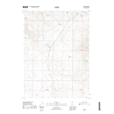
2018 Map of Henry
USGS Topo · Published 2018About this map
Henry sits at a geographic crossroads in northeastern Nevada, where the drainage of Salmon Falls Cr meets the northern reaches of the Granite Range. This high-desert landscape is defined by the convergence of several major waterways, including Jakes Cr and Knoll Cr, which carve through the basin floor. The terrain transitions from the plateau of Big Devils Table in the west to the prominent peak of China Mtn in the east. Modern travel follows the path of Route 93, a corridor through the Salmon River Range that likely mirrors older historic routes. Small water sources like Sagehen Spring and named geographic features such as Thompson Gulch and Blue Jay Gulch suggest a history of seasonal ranching and land use across the wide-open spaces of Elko County.
Find a feature on this map
24 named features on this map. Tap any name to fly to it.
Don’t see what you’re looking for? This feature index may not catch every label — zoom into the map to look around manually.
Map Details
Editions of this 2018 Henry Map
This is the sole edition of this map. No revisions or reprints were ever made.
Other maps of this area

1955 · Wells
USGS Topo · 1:250,000
1957 · Contact
USGS Topo · 1:62,500
1957 · Delaplain
USGS Topo · 1:62,500

1958 · Wells
USGS Topo · 1:250,000

1961 · Wells
USGS Topo · 1:250,000
1968 · Knoll Mountain
USGS Topo · 1:24,000
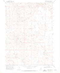
1968 · Hubbard Basin
USGS Topo · 1:24,000
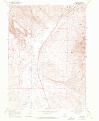
1968 · Henry
USGS Topo · 1:24,000
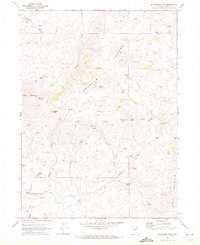
1968 · Blanchard Mtn
USGS Topo · 1:24,000
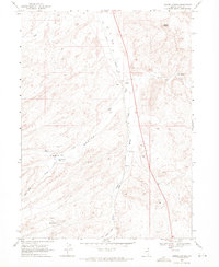
1968 · Harris Canyon
USGS Topo · 1:24,000