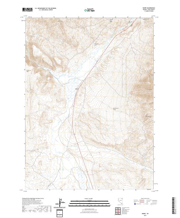
2021 Map of Henry
USGS Topo · Published 2021About this map
The settlement of Henry serves as a lone point of reference in this high-desert landscape of northeast Nevada. The terrain is defined by dramatic changes in elevation, from the prominent White Ridge and Big Devils Table in the west to the heights of China Mtn and the Granite Range in the east. Hydrological patterns here are seasonal and sparse, marked by the winding courses of Salmon Falls Cr, Townsend Cr, and Jakes Cr.
Find a feature on this map
22 named features on this map. Tap any name to fly to it.
Don’t see what you’re looking for? This feature index may not catch every label — zoom into the map to look around manually.
Map Details
Editions of this 2021 Henry Map
This is the sole edition of this map. No revisions or reprints were ever made.
Other maps of this area

1955 · Wells
USGS Topo · 1:250,000

1957 · Contact
USGS Topo · 1:62,500

1957 · Delaplain
USGS Topo · 1:62,500

1958 · Wells
USGS Topo · 1:250,000

1961 · Wells
USGS Topo · 1:250,000

1968 · Knoll Mountain
USGS Topo · 1:24,000

1968 · Hubbard Basin
USGS Topo · 1:24,000

1968 · Henry
USGS Topo · 1:24,000

1968 · Blanchard Mtn
USGS Topo · 1:24,000
1968 · Harris Canyon
USGS Topo · 1:24,000