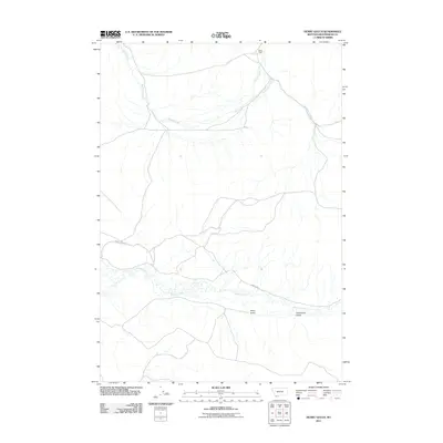
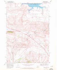
2011 Map of Henry Gulch
USGS Topo · Published 2011About this map
The Red Rock River meanders across this corner of Beaverhead County, tracing a path through the high valley floors of southwestern Montana. This 2011 survey illustrates a sparsely populated ranching and wilderness landscape where human presence is marked by isolated landmarks like Chris Cabin and the winding course of Lima Dam Rd. The topography is defined by significant drainage systems, including Basin Creek and Little Basin Creek, which feed into the primary river valley. These waters cut through the terrain to form notable features such as Henry Gulch and Centennial Gulch. Transportation in this area is limited to secondary routes like N Centennial Rd, reflecting the remote and rugged character of the Centennial Valley region during the early 21st century.
Find a feature on this map
8 named features on this map. Tap any name to fly to it.
Don’t see what you’re looking for? This feature index may not catch every label — zoom into the map to look around manually.
Map Details
Editions of this 2011 Henry Gulch Map
This is the sole edition of this map. No revisions or reprints were ever made.
Other maps of this area

1955 · Dubois
USGS Topo · 1:250,000

1958 · Dubois
USGS Topo · 1:250,000
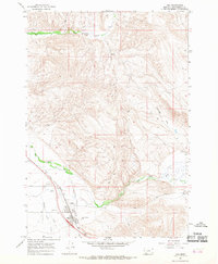
1965 · Lima
USGS Topo · 1:24,000
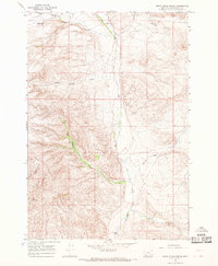
1965 · Rock Island Ranch
USGS Topo · 1:24,000
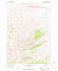
1965 · Lima Peaks
USGS Topo · 1:24,000
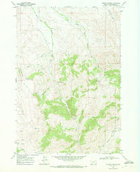
1968 · Whiskey Spring
USGS Topo · 1:24,000
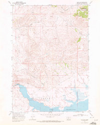
1968 · Lima Dam
USGS Topo · 1:24,000
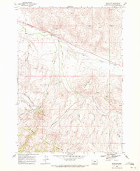
1968 · Snowline
USGS Topo · 1:24,000
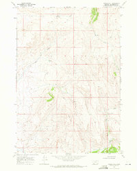
1968 · Vinegar Hill
USGS Topo · 1:24,000
1968 · Monida
USGS Topo · 1:24,000