
1965 Map of Rock Island Ranch
USGS Topo · Published 1968About this map
Rock Island Ranch and the nearby Knox Ranch anchor this 1960s study of the high-altitude drainage systems in Beaverhead County. The landscape is defined by the convergence of the Little Sage Creek and East Sage Creek valleys, forming the primary Sage Creek basin. The topographic detail highlights the intricate network of canyons, including Big Spring Gulch and Little Spring Gulch, which reveal the importance of perennial water sources in this high pasture country.
Find a feature on this map
16 named features on this map. Tap any name to fly to it.
Don’t see what you’re looking for? This feature index may not catch every label — zoom into the map to look around manually.
Map Details
Editions of this 1965 Rock Island Ranch Map
This is the sole edition of this map. No revisions or reprints were ever made.
Other maps of this area

1955 · Dubois
USGS Topo · 1:250,000

1958 · Dubois
USGS Topo · 1:250,000
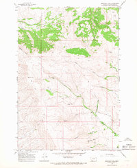
1965 · Monument Hill
USGS Topo · 1:24,000

1965 · Lima
USGS Topo · 1:24,000

1965 · Briggs Ranch
USGS Topo · 1:24,000
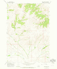
1965 · Beech Creek
USGS Topo · 1:24,000

1965 · Dell
USGS Topo · 1:24,000
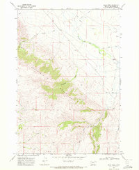
1968 · Price Creek
USGS Topo · 1:24,000

1968 · Vinegar Hill
USGS Topo · 1:24,000

1968 · Henry Gulch
USGS Topo · 1:24,000