1968 Map of Vinegar Hill
USGS Topo · Published 1972About this map
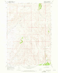
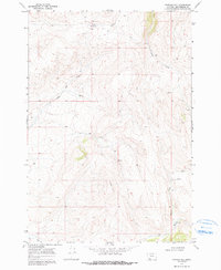
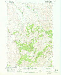
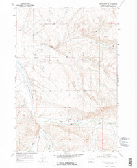
Vinegar Hill dominates the center of this 1968 landscape in Beaverhead County, where high-elevation drainage patterns define the geography. The map captures a high-country environment where narrow watercourses like Price Creek and Teddy Creek flow through deeply etched terrain. Significant water sources for the area are noted by labels such as Box Springs and Little Sage Creek, which reflect the essential hydrology of the Montana range.
Find a feature on this map
10 named features on this map. Tap any name to fly to it.
Don’t see what you’re looking for? This feature index may not catch every label — zoom into the map to look around manually.
Map Details
Editions of this 1968 Vinegar Hill Map
2 editions found
Other maps of this area

1955 · Dubois
USGS Topo · 1:250,000

1958 · Dubois
USGS Topo · 1:250,000
1965 · Lima
USGS Topo · 1:24,000
1965 · Rock Island Ranch
USGS Topo · 1:24,000
1965 · Beech Creek
USGS Topo · 1:24,000
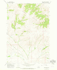
1968 · Price Creek
USGS Topo · 1:24,000
1968 · Whiskey Spring
USGS Topo · 1:24,000
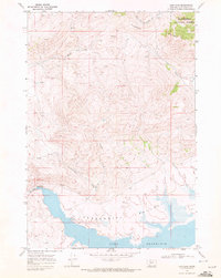
1968 · Lima Dam
USGS Topo · 1:24,000
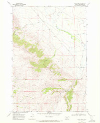
1968 · Price Creek NE
USGS Topo · 1:24,000
1968 · Henry Gulch
USGS Topo · 1:24,000