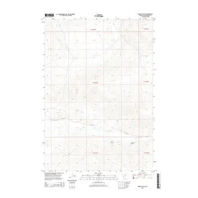
2014 Map of Henry Gulch
USGS Topo · Published 2014About this map
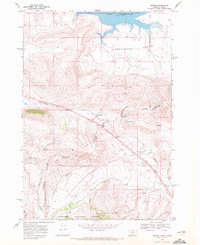
Red Rock River meanders across the southern reach of this Beaverhead County landscape, providing the primary drainage for the surrounding high-elevation terrain. This 2014 survey captures a sparsely populated region of Montana defined by steep topography and seasonal watercourses such as Basin Cr and Little Basin Cr. The most prominent human infrastructure is Lima Dam Rd, which follows the river's northern bank and provides access to the namesake water control feature just beyond the sheet's edge. The land is divided into distinct drainage systems including Henry Gulch and Centennial Gulch, reflecting a traditional western ranching and watershed management environment. The presence of section lines from the Public Land Survey System, such as t13s r7w, illustrates the systematic grid overlaying this otherwise irregular mountainous relief.
Find a feature on this map
12 named features on this map. Tap any name to fly to it.
Don’t see what you’re looking for? This feature index may not catch every label — zoom into the map to look around manually.
Map Details
Editions of this 2014 Henry Gulch Map
This is the sole edition of this map. No revisions or reprints were ever made.
Other maps of this area

1955 · Dubois
USGS Topo · 1:250,000

1958 · Dubois
USGS Topo · 1:250,000
1965 · Lima
USGS Topo · 1:24,000
1965 · Rock Island Ranch
USGS Topo · 1:24,000
1965 · Lima Peaks
USGS Topo · 1:24,000
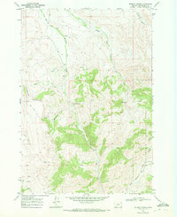
1968 · Whiskey Spring
USGS Topo · 1:24,000
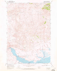
1968 · Lima Dam
USGS Topo · 1:24,000
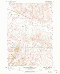
1968 · Snowline
USGS Topo · 1:24,000
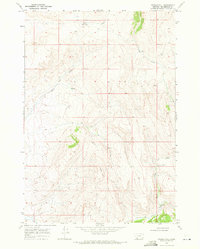
1968 · Vinegar Hill
USGS Topo · 1:24,000
1968 · Monida
USGS Topo · 1:24,000