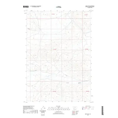
2020 Map of Henry Gulch
USGS Topo · Published 2020About this map
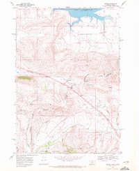
The Red Rock River meanders across this portion of Beaverhead County, defining the drainage patterns of a landscape marked by significant elevation changes and deep natural draws. Notable features include Henry Gulch and Centennial Gulch, which cut through the southern terrain toward the river valley. To the north, the headwaters of Basin Cr and Little Basin Cr flow through complex topographic contours. This 2020 survey provides a modern view of the regional infrastructure, primarily represented by Lima Dam Rd, which skirts the river's northern edge. The map captures the intersection of public land survey boundaries, including t13s r7w and t13s r6w, in a region where the high-altitude hydrology of the American West remains the dominant physical characteristic.
Find a feature on this map
13 named features on this map. Tap any name to fly to it.
Don’t see what you’re looking for? This feature index may not catch every label — zoom into the map to look around manually.
Map Details
Editions of this 2020 Henry Gulch Map
This is the sole edition of this map. No revisions or reprints were ever made.
Other maps of this area

1955 · Dubois
USGS Topo · 1:250,000

1958 · Dubois
USGS Topo · 1:250,000
1965 · Lima
USGS Topo · 1:24,000
1965 · Rock Island Ranch
USGS Topo · 1:24,000
1965 · Lima Peaks
USGS Topo · 1:24,000
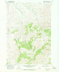
1968 · Whiskey Spring
USGS Topo · 1:24,000
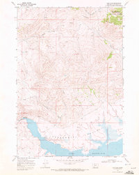
1968 · Lima Dam
USGS Topo · 1:24,000
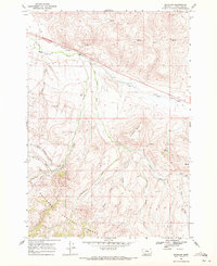
1968 · Snowline
USGS Topo · 1:24,000
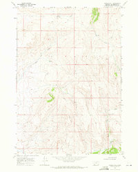
1968 · Vinegar Hill
USGS Topo · 1:24,000
1968 · Monida
USGS Topo · 1:24,000