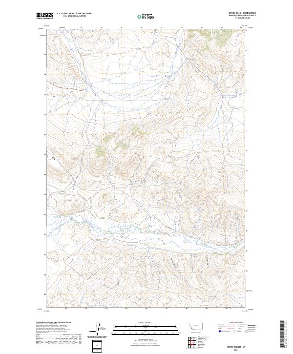
2024 Map of Henry Gulch
USGS Topo · Published 2024About this map
The Red Rock River meanders across this portion of Beaverhead County, defining the drainage patterns of a landscape marked by deep gulches and tributary streams. Running south of the river, Henry Gulch and Centennial Gulch carve into the rising terrain, providing a stark contrast to the broader valley floor. Modern access to this corner of Montana is primarily facilitated by Lima Dam Rd, which skirts the river's path and connects the sparse high-country drainages. To the north, the terrain is segmented by Basin Creek and Little Basin Creek, reflecting a characteristic Western watershed where seasonal water flow dictates the shape of the land. This survey from the U.S. Geological Survey details the township and range boundaries that still organize this area, illustrating how surveying lines intersect with natural features like the winding river and its neighboring canyons.
Find a feature on this map
12 named features on this map. Tap any name to fly to it.
Don’t see what you’re looking for? This feature index may not catch every label — zoom into the map to look around manually.
Map Details
Editions of this 2024 Henry Gulch Map
This is the sole edition of this map. No revisions or reprints were ever made.
Other maps of this area

1955 · Dubois
USGS Topo · 1:250,000

1958 · Dubois
USGS Topo · 1:250,000

1965 · Lima
USGS Topo · 1:24,000

1965 · Rock Island Ranch
USGS Topo · 1:24,000

1965 · Lima Peaks
USGS Topo · 1:24,000

1968 · Whiskey Spring
USGS Topo · 1:24,000

1968 · Lima Dam
USGS Topo · 1:24,000

1968 · Snowline
USGS Topo · 1:24,000

1968 · Vinegar Hill
USGS Topo · 1:24,000

1968 · Monida
USGS Topo · 1:24,000