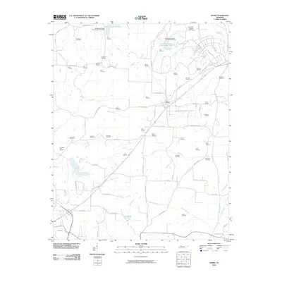
2010 Map of Henry
USGS Topo · Published 2010About this map
Henry serves as the central hub of this West Tennessee landscape, where a dense network of country roads like Old State Hwy 76 and Macedonia Rd connects scattered farmsteads and family landholdings. The map reveals a remarkable concentration of burial sites, including the New Bethel Cemetery, Brogdon Cemetery, and the Bird-Miller Cemetery, which offer significant value for genealogists tracing regional family lineages.
Find a feature on this map
84 named features on this map. Tap any name to fly to it.
Don’t see what you’re looking for? This feature index may not catch every label — zoom into the map to look around manually.
Map Details
Editions of this 2010 Henry Map
This is the sole edition of this map. No revisions or reprints were ever made.
Other maps of this area

1936 · Mansfield
USGS Topo · 1:24,000

1936 · Vale
USGS Topo · 1:24,000

1936 · Paris
USGS Topo · 1:24,000

1950 · Osage
USGS Topo · 1:24,000

1950 · Paris
USGS Topo · 1:24,000

1950 · Vale
USGS Topo · 1:24,000

1950 · Mansfield
USGS Topo · 1:24,000

1955 · Henry
USGS Topo · 1:24,000

1955 · Huntingdon
USGS Topo · 1:24,000

1956 · Dyersburg
USGS Topo · 1:250,000