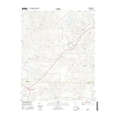
2016 Map of Henry
USGS Topo · Published 2016About this map
Henry and the surrounding borderlands of Henry and Carroll Counties appear here as a landscape shaped by a dense network of family-named cemeteries and low-lying watercourses. This modern survey illustrates the agrarian character of the region, where numerous small family burial grounds like Bird-Miller Cem and Covington-Wall Cem are scattered across the terrain, reflecting deep roots in the local community. The drainage patterns are prominent, characterized by the Middle Fork Obion River Number Nine Lake and engineered features like Neil Ditch, which manage the flow through the creeks and bottomlands.
Find a feature on this map
108 named features on this map. Tap any name to fly to it.
Don’t see what you’re looking for? This feature index may not catch every label — zoom into the map to look around manually.
Map Details
Editions of this 2016 Henry Map
This is the sole edition of this map. No revisions or reprints were ever made.
Other maps of this area
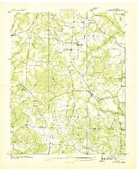
1936 · Mansfield
USGS Topo · 1:24,000
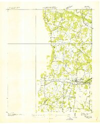
1936 · Vale
USGS Topo · 1:24,000
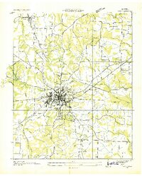
1936 · Paris
USGS Topo · 1:24,000
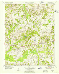
1950 · Osage
USGS Topo · 1:24,000
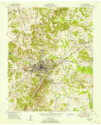
1950 · Paris
USGS Topo · 1:24,000
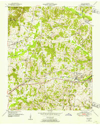
1950 · Vale
USGS Topo · 1:24,000
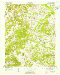
1950 · Mansfield
USGS Topo · 1:24,000
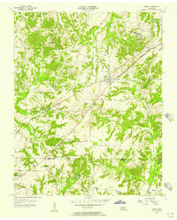
1955 · Henry
USGS Topo · 1:24,000
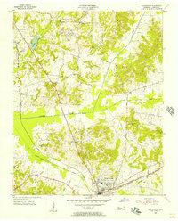
1955 · Huntingdon
USGS Topo · 1:24,000
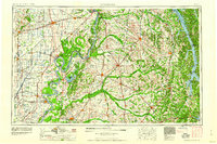
1956 · Dyersburg
USGS Topo · 1:250,000