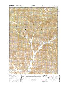
2014 Map of Hensley Butte
USGS Topo · Published 2014About this map
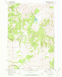
Ochoco National Forest dominates this Central Oregon landscape at the border of Jefferson and Crook counties. The terrain is defined by the Ochoco Mountains, characterized by high-elevation landforms such as Hensley Butte and Cougar Rock. The drainage pattern is complex, with McKay Cr and its various tributaries, including Kaiman Cr and Bottle Cr, carving deep routes through the forest.
Find a feature on this map
37 named features on this map. Tap any name to fly to it.
Don’t see what you’re looking for? This feature index may not catch every label — zoom into the map to look around manually.
Map Details
Editions of this 2014 Hensley Butte Map
This is the sole edition of this map. No revisions or reprints were ever made.
Other maps of this area
1948 · Ochoco Reservoir
USGS Topo · 1:62,500
1950 · Ochoco Reservoir
USGS Topo · 1:62,500

1955 · Bend
USGS Topo · 1:250,000

1957 · Bend
USGS Topo · 1:250,000
1958 · Bend
USGS Topo · 1:250,000
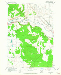
1962 · Huston Lake
USGS Topo · 1:24,000
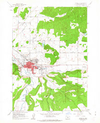
1962 · Prineville
USGS Topo · 1:24,000
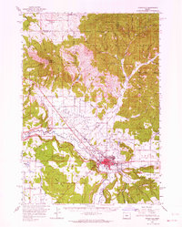
1962 · Prineville
USGS Topo · 1:62,500
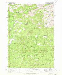
1968 · Dutchman Creek
USGS Topo · 1:24,000
1969 · Brewer Reservoir
USGS Topo · 1:24,000