
1962 Map of Huston Lake
USGS Topo · Published 1963About this map
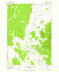
The Crooked River carves through the landscape here, defining the fertile agricultural grounds of the Prineville Valley as it appeared in the early 1960s. This survey illustrates a complex water management system essential to High Desert farming, featuring the Main Canal and the Central Oregon Canal feeding into local acreage. The transportation network is anchored by the City of Prineville Railway and the O'Neil Highway, while the Prineville Airport and the Radio Tower (KRCO) signal the area's mid-century modernization.
Find a feature on this map
25 named features on this map. Tap any name to fly to it.
Don’t see what you’re looking for? This feature index may not catch every label — zoom into the map to look around manually.
Map Details
Editions of this 1962 Huston Lake Map
This is the sole edition of this map. No revisions or reprints were ever made.
Other maps of this area

1926 · Bend
USGS Topo · 1:125,000

1929 · Bend
USGS Topo · 1:125,000

1955 · Bend
USGS Topo · 1:250,000

1957 · Bend
USGS Topo · 1:250,000

1958 · Bend
USGS Topo · 1:250,000

1962 · Oneil
USGS Topo · 1:24,000

1962 · Prineville
USGS Topo · 1:24,000

1962 · Powell Buttes
USGS Topo · 1:62,500
1962 · Powell Butte
USGS Topo · 1:24,000
1962 · Gray Butte
USGS Topo · 1:24,000