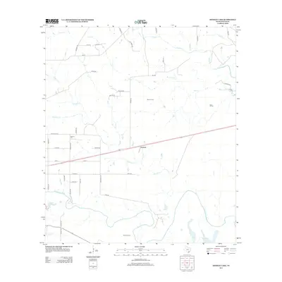
2013 Map of Hensley Lake
USGS Topo · Published 2013About this map
The San Antonio River snakes across the southern portion of this landscape, creating a complex network of oxbows and riparian features including Horseshoe Lake and Hensley Lake. This section of Goliad County is characterized by a mix of agricultural pastureland and active petroleum extraction, evidenced by the Matze Oil Field and Alkek Oil Field. The small settlement of Scurlock sits near the center of the sheet, serving as a local point of reference within a grid of country roads and family-named lanes like Pesek Ln and Danforth Rd.
Find a feature on this map
53 named features on this map. Tap any name to fly to it.
Don’t see what you’re looking for? This feature index may not catch every label — zoom into the map to look around manually.
Map Details
Editions of this 2013 Hensley Lake Map
This is the sole edition of this map. No revisions or reprints were ever made.
Other maps of this area

1953 · Beeville
USGS Topo · 1:250,000

1956 · Beeville
USGS Topo · 1:250,000

1960 · Beeville
USGS Topo · 1:250,000
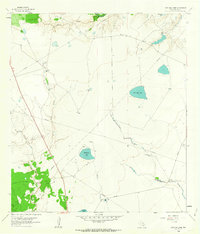
1962 · Live Oak Lake
USGS Topo · 1:24,000
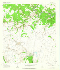
1962 · Fannin
USGS Topo · 1:24,000
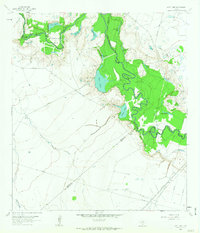
1962 · Lott Lake
USGS Topo · 1:24,000
1962 · Melo
USGS Topo · 1:24,000
1962 · Hensley Lake
USGS Topo · 1:24,000
1962 · Goliad
USGS Topo · 1:24,000
1963 · Weesatche
USGS Topo · 1:24,000